Catalog Archive
Auction 141, Lot 112

"An Authentic Plan of the River St. Laurence, from Sillery to the Falls of Montmorency", Gibson, John
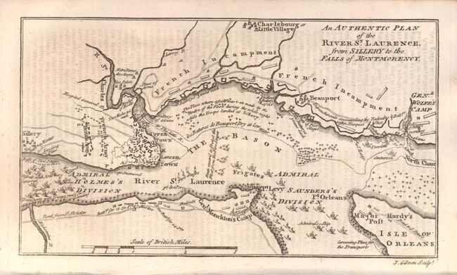
Subject: Canada

Period: 1759 (published)

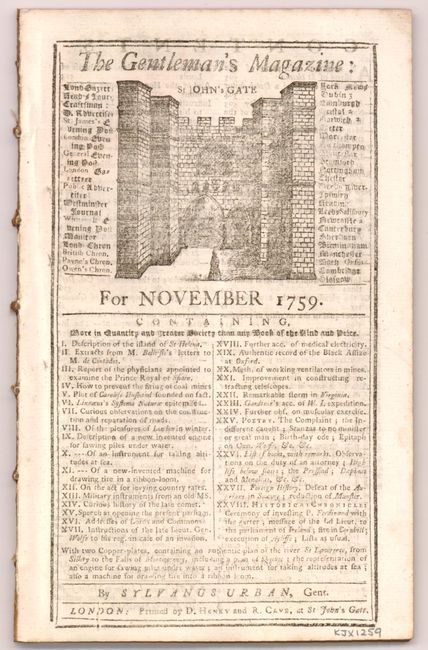
Publication: Gentleman's Magazine

Color: Black & White

Size:
7.3 x 4 inches
18.5 x 10.2 cm
Download High Resolution Image
(or just click on image to launch the Zoom viewer)

This map details the 1759 "Battle of Quebec" during the French and Indian War. It was issued shortly after the capture of Quebec and shows the positions of all the British and French troops and their lines, defensive works, encampments, and numerous warships in the river, some named. This small map delineates rivers, roads, and towns in the vicinity around Quebec. Very detailed on a scale of about one inch per mile. An important French and Indian war map that was published half-way through the conflict. Still bound into the November 1759 issue of the Gentleman's Magazine.

References: Jolly (Maps of America) #122; Jolly #GENT-137.

Condition: B+

Light offsetting from opposing text page and one minor crease.

Estimate: $160 - $200

Sold for: $80

Closed on 9/5/2012

Archived