Subject: Reference Books
Period: 1969-2002 (published)
Publication:
Color:
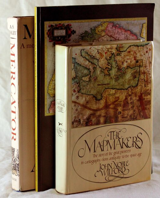
A.The Mapmakers, by John Noble Wilford, published 1981, black & white (8" x 5.8"). A comprehensive history of the great pioneers in cartography from antiquity to the Space Age. Traces the discoveries and technical ingenuity used in mapping first the surface of the globe, then the earth's interior, the oceans' floors, and finally the moon and the planets. 39 b/w illustrations. Hardbound with dust jacket, 414 pp, bibliography & index. Condition: Text is clean, with light spots and a pen mark on fore-edge. Covers, spine and dust jacket are slightly worn. (B+)
B.Mercator… , by A. S. Osley, published 1969, black & white (8.8" x 11.3"). Gerard Mercator is best known for the Mercator Projection and the term atlas used for a book of maps. His skill as an engraver and calligrapher is perhaps less widely known, though his treatise on the italic hand is as popular with calligraphers today as it was when first published in 1540. This book examines the origins of the italic hand in the Netherlands and Mercator's influence on the lettering of maps and globes, book production, scientific instruments and illustration. Includes a facsimile and translation of Mercator's treatise on lettering, and a translation of Walter Grim's contemporary biography of Mercator. These are the first translations of these works to be printed in English. Extensively illustrated, 209 pp. First edition. Hardbound in blue cloth with gilt lettering on spine and decorated cover, with illustrated dust jacket. Condition: Library bookplate on front pastedown. Covers are lightly worn, and dust jacket is worn with toning and soiling. (B+)
C. Scandia: Important Early Maps of the Northern Regions & Maps and Charts of Norway, from the collection of William B. and Inger G. Ginsberg, from Scandinavia House: The Nordic Center in America, published 2002, printed color (9" x 12"). This exhibition is drawn from the collection of William B. Ginsberg and his wife, Inger Gundersen Ginsberg. It illustrates some of the earliest known maps of the northern regions, which are beautifully drawn and highly detailed, and includes important works from Ginsberg's cartographic collection. The catalogue is a tribute to his scholarship and passion. A must for any collector of maps of the Northern Regions. 4to, 96 pp., with over 75 illustrations. Bound in illustrated paper covers. Condition: Top corner is slightly bumped and covers are lightly worn. (A)
References:
Condition:
See description.