Subject: Exploration and Surveys
Period: 1857 (dated)
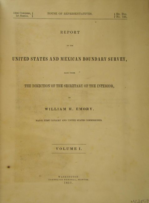
Publication: Ex. Doc. No. 135, 34th Cong, 1st Sess.
Color: Printed Color
Size:
9 x 12 inches
22.9 x 30.5 cm
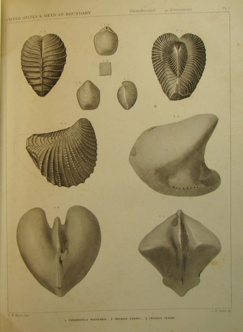
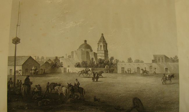
After the Treaty of Guadeloupe, Hidalgo (1848), which ended the war with Mexico, it was necessary to establish a boundary acceptable to both Mexico and the United States. The Mexican Boundary Survey was the result and it provided Americans with the first detailed description of their newly acquired territory. The survey added greatly to an understanding of geography, topography, geology, botany and ethnology.
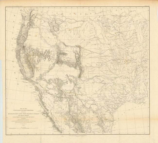
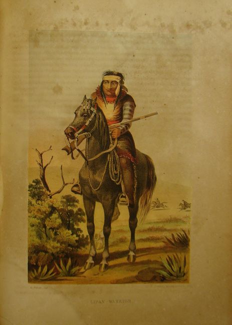
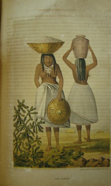
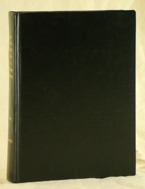
This is the complete House of Representatives version of Volume 1 which is composed of two parts: Part I (258 pp. with 16 preliminary pages) and Part II (174 pp. with 8 preliminary pages). There are numerous woodcut illustrations, 12 chromolithographic plates, 63 steel engraved plates, 3 copper engraved sections, 1 folding geologic diagram and 1 large folding map. The map included is titled Map of the United States and their Territories between the Mississippi and the Pacific Ocean and Part of Mexico (22.5 x 20").
This report is one of the most sought-after early southwestern government reports because of its exceptional illustrations as well as geographic and cultural information.
References:
Condition: B
Complete with all pages and plates. The folding map is in good condition with a binding trim at lower left and is separated from the text. The pages and plates are lightly toned with some damp staining and scattered foxing. The report has been professionally rebound and is in excellent condition.