Subject: Atlases
Period: 1875 (published)
Publication:
Color: Hand Color
Size:
12 x 9 inches
30.5 x 22.9 cm
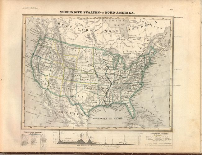
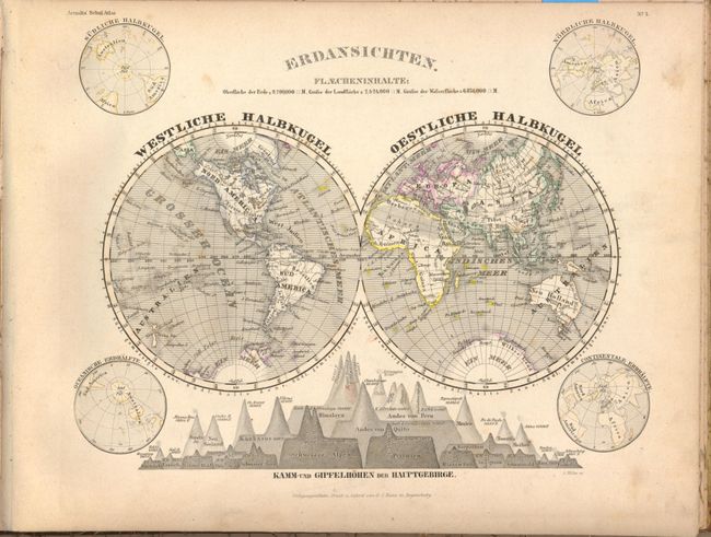
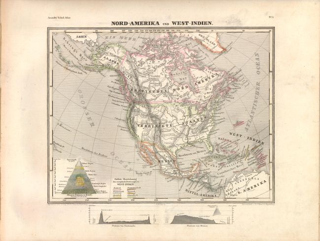
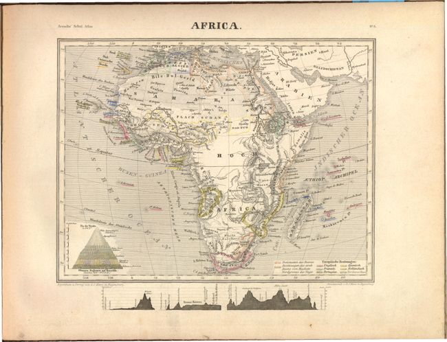
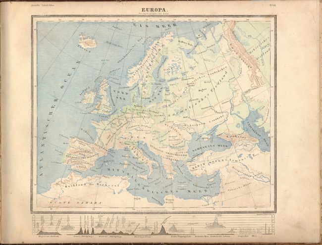
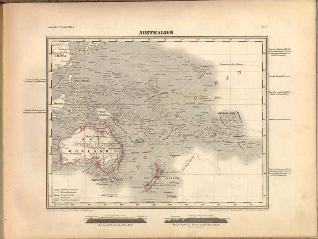
This German school atlas by Professor Dr. Carl Arendts contains 27 maps and a title page with table of contents. The maps include celestial, world, each continent, the United States, and various countries in Europe. The United States map depicts 36 states and 10 territories. Two maps, Europe and Germany, are in printed color, with the remaining maps in hand color, except the celestial chart, which is in black and white. Engraved by A. Muller. Complete, with maps backed with linen and rebound in brown cloth-covered boards.
During this period most publishers employed children to color maps as cheaply as possible. Although provided with color guides, the colorists often made errors. This is a great example with numerous errors, particularly in the map of the United States
References:
Condition: B
Maps are in good to very good condition with light toning, occasional spots, and marginal soiling. Spine and covers are stained and worn, and hinges are starting.