Subject: Atlases
Period: 1822 (circa)
Publication:
Color: Hand Color
Size:
9.5 x 11.5 inches
24.1 x 29.2 cm
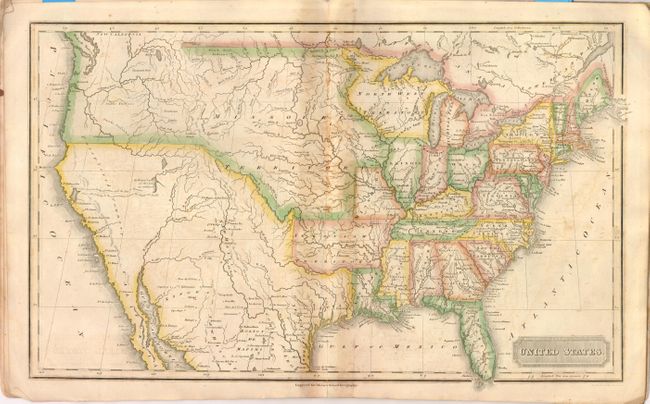
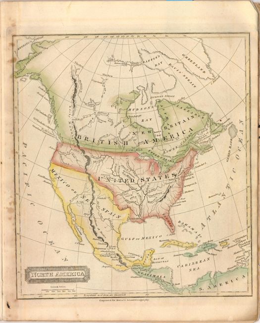
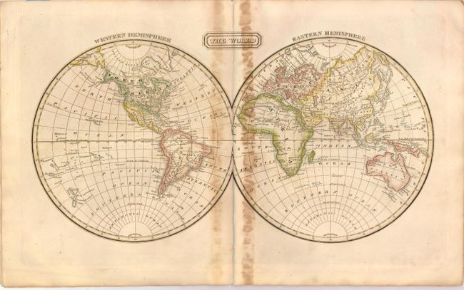
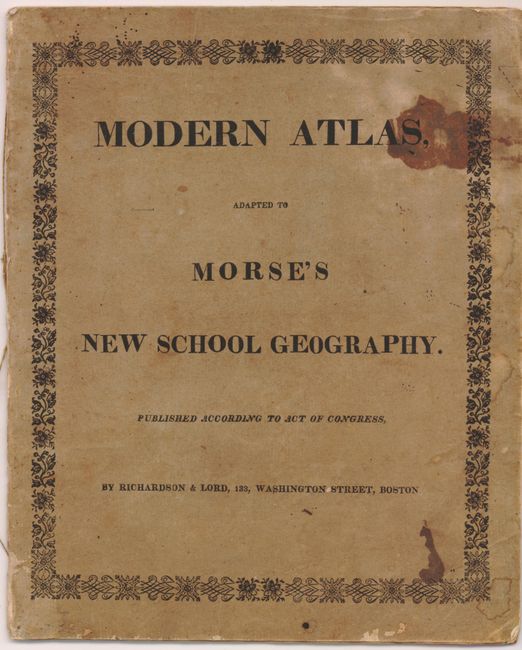
Morse's atlas has six single-page maps and two great double-page maps of The World and the United States. The US map shows the Arkansaw Territory in its larger configuration, in addition to a large Missouri Territory. The northwestern boundary between the United States and the British possessions in Canada is not delineated reflecting the joint occupation of the Oregon territory. Mexico occupies the American Southwest and Texas. The atlas also includes maps of North America, South America, Europe, the British Islands, Asia, and Africa. Published by Richardson and Lord, Boston. 4to. Complete. Original softbound with title page printed on front cover, and advertisement for Morse's A New System of Geography, Ancient and Modern… on back cover.
References:
Condition: C+
Original color with toning where backstrap was attached. Maps range from very good to satisfactory, with light soiling primarily confined to blank margins. The <i>United States</i> map has light offsetting and a centerfold separation that enters 1.5" into map image at bottom. The covers are soiled and worn. Original string binding is partially detached.