Catalog Archive
Auction 138, Lot 841

"Chart of the NW Coast of America and NE Coast of Asia explored in the Years 1778 & 1779…", Cook, James (Capt.)

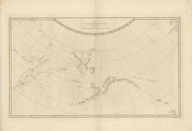
Subject: North Pacific Ocean

Period: 1784 (circa)

Publication:

Color: Black & White

Size:
26.5 x 15.5 inches
67.3 x 39.4 cm
Download High Resolution Image
(or just click on image to launch the Zoom viewer)

This map shows the coastline of northwestern North America and northeastern Asia, with particular emphasis on Bristol Bay north to the Bering Strait. The detail is focused on Cook's explorations, including his third and final expedition. The engraver of the map is not noted but the places names were engraved by Thomas Harner.

References: Kershaw #1140, Wagner #696.

Condition: B+

Strong impression on thick watermarked paper. There is some minor ink residue along the platemark and a hint of centerfold toning, else very good.

Estimate: $220 - $250

Sold for: $110

Closed on 12/7/2011

Archived