Catalog Archive
Auction 138, Lot 817

"Le Port d'Alger…", Fer, Nicolas de

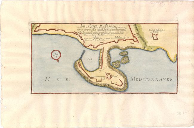
Subject: Algiers, Algeria

Period: 1696 (circa)

Publication: Les Forces de l' Europe…

Color: Hand Color

Size:
12.3 x 6 inches
31.2 x 15.2 cm
Download High Resolution Image
(or just click on image to launch the Zoom viewer)

Attractive small bird's-eye plan of the fortification at the port at Algiers. The chart is oriented with north at bottom by a compass rose. Nicolas de Fer held the title of Geographer at Louis XIV's court. He was one of the most prolific publishers of plans of European cities in the late seventeenth century.

References:

Condition: A

Watermarked paper with a few faint spots and a small hole in wide margins, far from map image.

Estimate: $80 - $100

Unsold

Closed on 12/7/2011

Archived