Catalog Archive
Auction 138, Lot 710

"Etats du Grand-Seigneur en Asie, Empire de Perse, Pays des Usbecs, Arabie et Egypte", Robert de Vaugondy, Didier

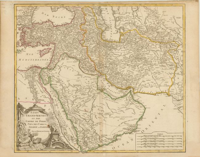
Subject: Near and Middle East

Period: 1760 (circa)

Publication: Atlas Universel

Color: Hand Color

Size:
22 x 19 inches
55.9 x 48.3 cm
Download High Resolution Image
(or just click on image to launch the Zoom viewer)

This is a handsome and detailed copper-engraved map centered on the Arabian Peninsula, here called Arabie Heureuse. The map shows the Black and Caspian Seas, and extends to include modern Turkey, Persia, Syria, Israel, Saudi Arabia, Iraq, Iran (Persia), Usbekistan, and much of Afghanistan. The map is adorned with a decorative cartouche showing a Turkish sultan seated on pillows, smoking a long pipe, and five distance scales at lower right.

References: Pedley #389.

Condition: B+

Original outline color on watermarked paper with minor toning and creasing along centerfold. There is marginal soiling and a minor paper flaw in title cartouche.

Estimate: $350 - $450

Sold for: $250

Closed on 12/7/2011

Archived