Subject: World
Period: 1833 (circa)
Publication:
Color: Hand Color
Size:
6.5 x 4.3 inches
16.5 x 10.9 cm
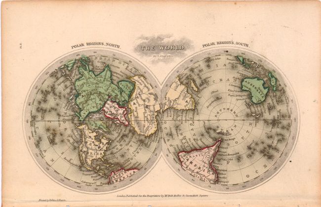
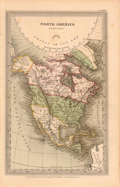
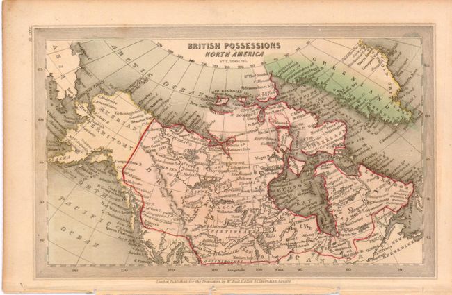
This is a lot of three interesting miniature maps engraved by Thomas Starling. The first is The World which is a double-hemisphere representation and shows the world from the view of the north and south poles. The second is North America which stretches from Baffin Bay south to the equator. The United States boundary is shown with possession of much of present-day British Columbia. The color shows New England as a British Possession - an obvious error. The third is British Possessions in North America and the color on this map is also incorrect as it doesn't show Quebec and New Brunswick within the boundary. Errors such as these were commonly found on maps of this period when children were employed as colorists.
References:
Condition: B+
Light even toning and a few tiny stains, else very good.