Catalog Archive
Auction 138, Lot 388

"Carte des Antilles", Tardieu, Ambroise
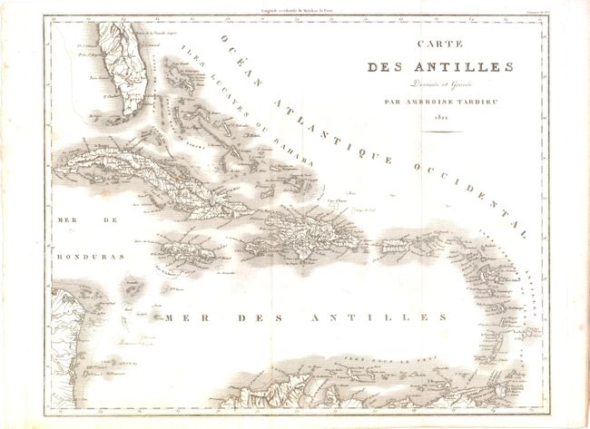
Subject: Caribbean

Period: 1822 (dated)

Publication:

Color: Black & White

Size:
18.3 x 14.3 inches
46.5 x 36.3 cm
Download High Resolution Image
(or just click on image to launch the Zoom viewer)

This map of the Caribbean includes the southern tip of Florida and the coastlines of Honduras, Nicaragua, and northern South America. It contains a dense listing of place names, mountain ranges, rivers, and navigational hazards, more than most charts from this period. There is particularly good detail of Cuba, Jamaica and Hispaniola.

References:

Condition: B+

There are a few minor spots and a small tear in the upper margin that just extends beyond the neatline which has been repaired with archival tape on verso.

Estimate: $250 - $350

Unsold

Closed on 12/7/2011

Archived