Subject: South Carolina
Period: 1848 (dated)
Publication:
Color: Hand Color
Size:
9 x 10.5 inches
22.9 x 26.7 cm
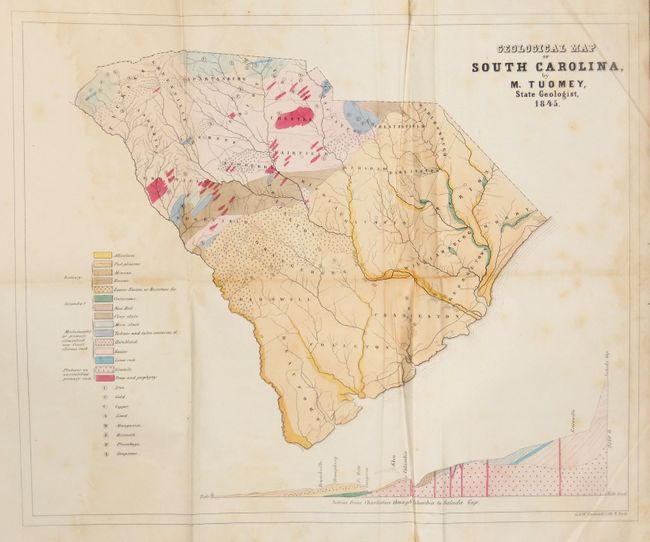
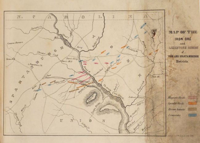
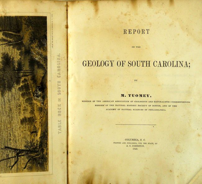
This important map is the first geological map made of South Carolina. It is complete with the original Report on the Geology of South Carolina. The map provides 15 different formations shown via coloring and pattern. The legend also locates Iron, Gold, Copper, Lead, Mangaese, Bismuth, Plumbago, and Soapstone. A large and colorful profile shows the region from Charleston through Columbia to Saluda Gap. The report contains numerous engravings in the text plus the folding Map of the Iron Ore and Limestone Region of York and Spartansburgh Districts (11" x 7"), which identifies three types of iron ore and limestone. Octavo, 293pp, plus Appendix and Index 56pp.
References: Marcou & Marcou #546.
Condition: B+
Map with very nice original color and a dark, early impression. Some light scattered foxing mostly at right side, extraneous creases from misfolding, and a 2" binding tear that does not enter map. The iron ore map is soiled in folding flap. Report is disbound, text with toning and damp stains.