Catalog Archive
Auction 138, Lot 181

"Map of the Northern Provinces of the United States", Russell, John C.

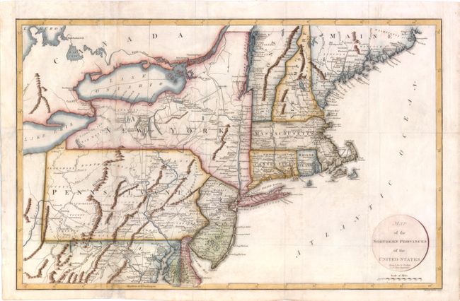
Subject: Eastern United States

Period: 1799 (circa)

Publication: Travels Through the United States of North America

Color: Hand Color

Size:
20 x 12.5 inches
50.8 x 31.8 cm
Download High Resolution Image
(or just click on image to launch the Zoom viewer)

This map covers all of the Northeast and Mid-Atlantic, extending south to below Alexandria and west to beyond Wheeling on the Ohio River. There is very good detail of roads throughout the region. Engraved by Russell Junior and printed for R. Phillips.

References: McCorkle #799.7.

Condition: B

Folding, as issued, with light offsetting and marginal soiling. A hole in eastern New York has been infilled, with minor loss of image. Two vertical tears through Maryland and Pennsylvania have been repaired with archival materials. Folds have been reinforced on verso with Japanese tissue.

Estimate: $400 - $500

Unsold

Closed on 12/7/2011

Archived