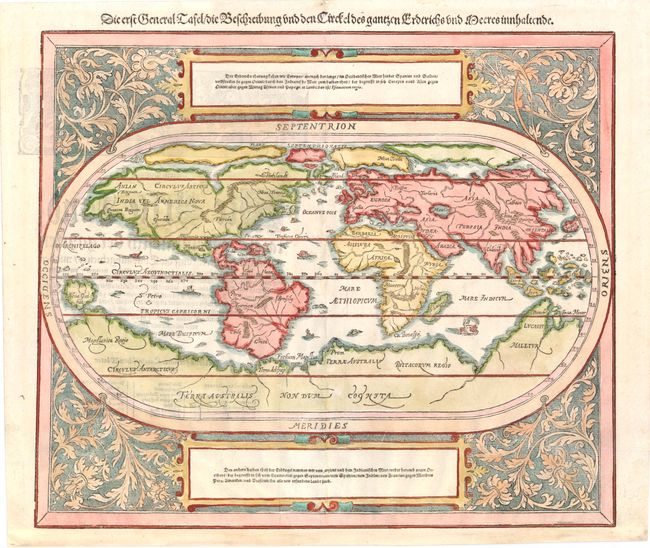
Subject: World
Period: 1588 (circa)
Publication: Cosmographen
Color: Hand Color
Size:
14.3 x 12.5 inches
36.3 x 31.8 cm
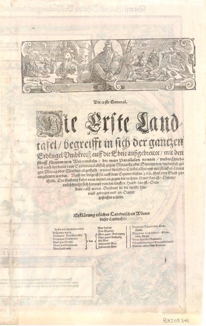
This oval woodcut world map appeared in the later editions of Munster's Cosmographia that were published by his son-in-law, Henricus Petri. The map of the "modern" world is based on Ortelius' map of 1570. It is surrounded by a floral and vine leaf pattern and two strapwork cartouches containing German text. The gothic German title is in the upper margin. Interesting cartographic features of the map include a huge southern continent and a Northern Passage (both Northwest and Northeast) to Asia. The map includes several tiny ships and sea monsters. German text and illustration on verso.
References: Shirley #163.
Condition: B+
Professional repairs along centerfold and light show-through of text on verso. Remargined at bottom with a small amount of neatline in facsimile, and a few small chips in top blank margin have also been professionally repaired.