Catalog Archive
Auction 138, Lot 178

"Part of North America; Comprehending the Course of the Ohio, New England, New York, New Jersey, Pensilvania, Maryland, Virginia, Carolina and Georgia.", Barrow, John (Sir)

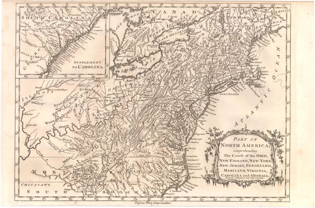
Subject: Colonial Eastern United States

Period: 1760 (circa)

Publication: New Geographical Dictionary

Color: Black & White

Size:
11.8 x 8.5 inches
30 x 21.6 cm
Download High Resolution Image
(or just click on image to launch the Zoom viewer)

A finely engraved, small map based on a larger map by Didier Robert de Vaugondy. The map is filled with detail of early settlements, Indian villages, and topography. The colonies extend to the Illinois and Mississippi Rivers, with North Carolina shown in an unusual, skinny configuration. The top left of the map is inset with an extension of South Carolina and part of Georgia, balanced by a fine rococo-style title cartouche at lower right.

References: McCorkle #759.2

Condition: B+

Lightly toned with narrow top and bottom margins, as issued, else very good.

Estimate: $300 - $400

Sold for: $150

Closed on 12/7/2011

Archived