Subject: United States
Period: 1863 (circa)
Publication:
Color: Hand Color
Size:
27 x 22 inches
68.6 x 55.9 cm
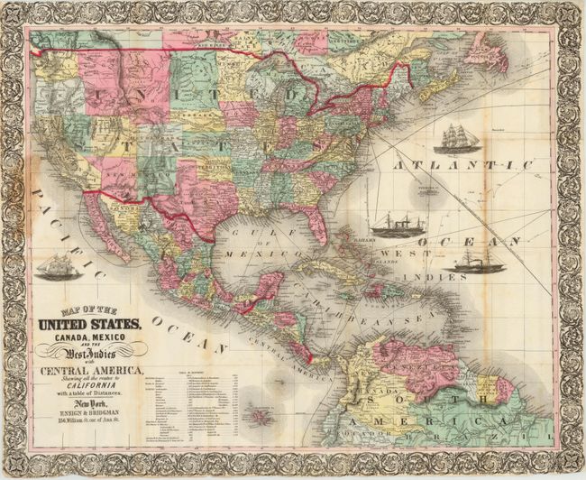
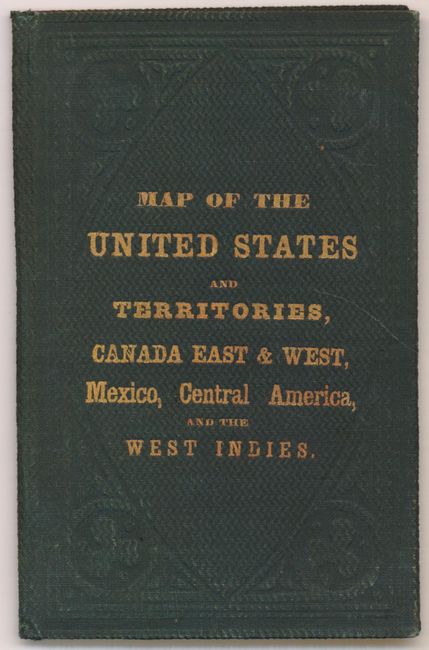
This pocket map was published at a time when many territorial borders were in interesting configurations. There is a huge Idaho territory that covers present-day Montana, Wyoming and Idaho. Arizona has just been formed from New Mexico Territory, but is not yet named. Nevada's border with Utah is along the 116th meridian. Oklahoma is Indian Territory and Dakota is still a large territory. The map is filled with many details including rivers, railroads, wagon roads and Indian tribes and extends to include portions of Canada, Central America, northern South America and all of the Caribbean islands. Sea routes between various ports are displayed along with 4 vignettes of sailboats and steamships and at lower left is a table listing distances between ports. The map folds into original green boards with gilt lettering and was published by Ensign & Bridgman.
References: cf. Wheat (TMW) #804.
Condition: B
There is a stain in the left margin where the map was attached to its covers. There are a few other small stains and toning along one of the folds, which has also been reinforced with archival material on verso to repair a few tiny holes. Issued folding with boards present but detached from the map.