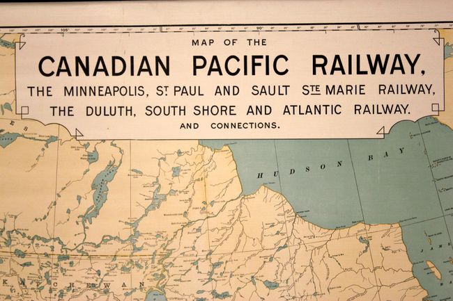
Subject: Canada & United States, Railroads
Period: 1902 (dated)
Publication:
Color: Printed Color
Size:
58 x 32 inches
147.3 x 81.3 cm
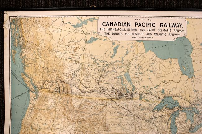
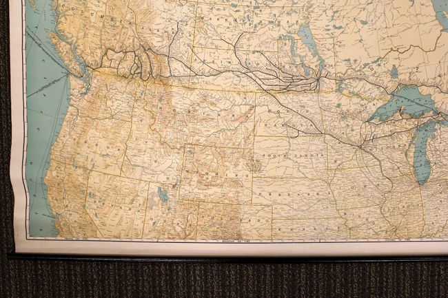
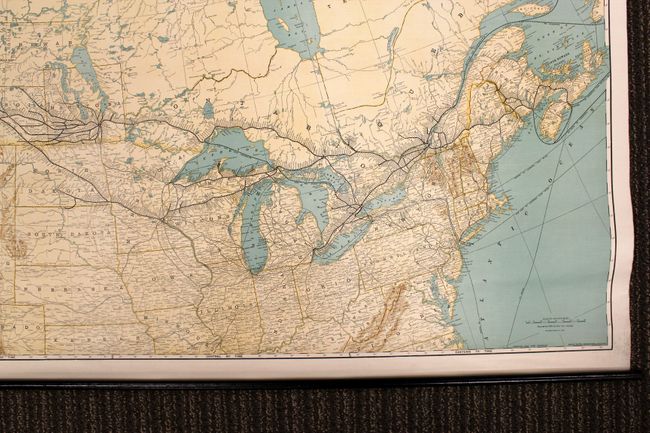
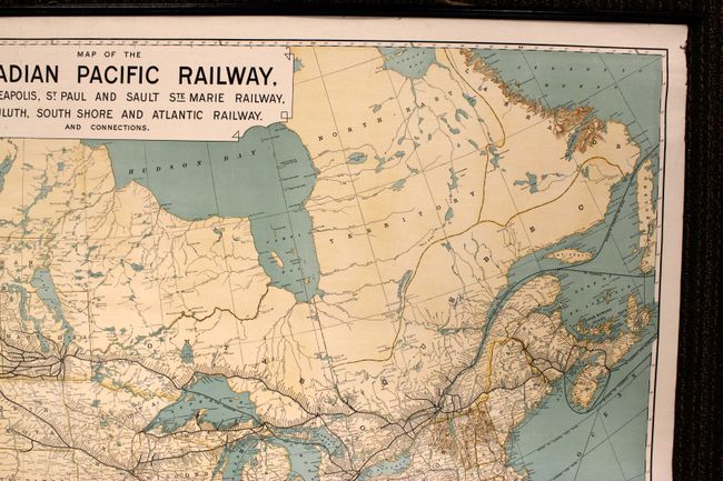
This huge wall map shows extensive detail of the evolving railway system in southern Canada and the upper Midwest. Established in 1881, the lines stretch across the entire country from Halifax, Nova Scotia to Vancouver, British Columbia. Steamship routes are also highlighted between North America and England, Hawaii, Australia, Japan and China. This map was originally published in 1893 and this edition was corrected in 1902. Linen-back and attached to rollers at top and bottom.
References:
Condition: B+
Nice clean image on bright paper. There are a few stains in the upper portion of the map confined to the blank margins and two tiny edge tears also confined to the upper blank margins. The map is separated from the upper right roller for about 15 inches, but is in otherwise very good condition.