Catalog Archive
Auction 138, Lot 14

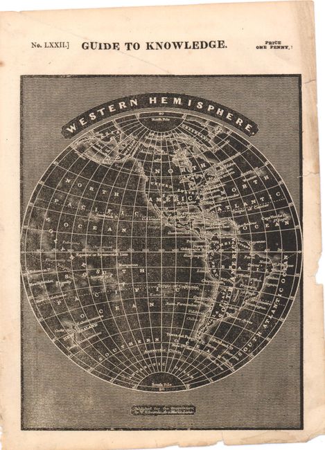
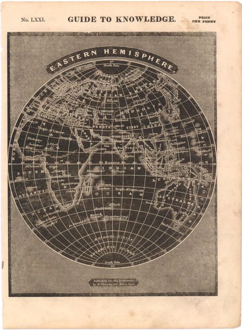
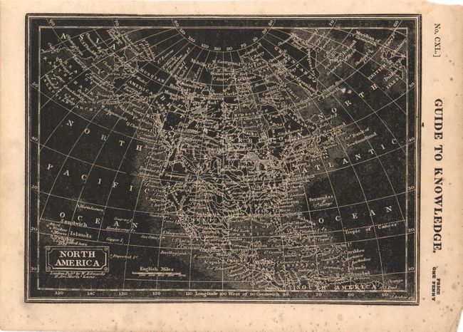
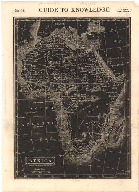
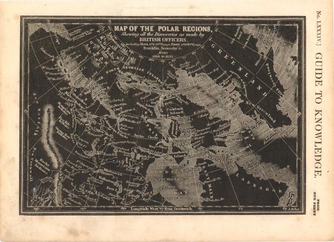
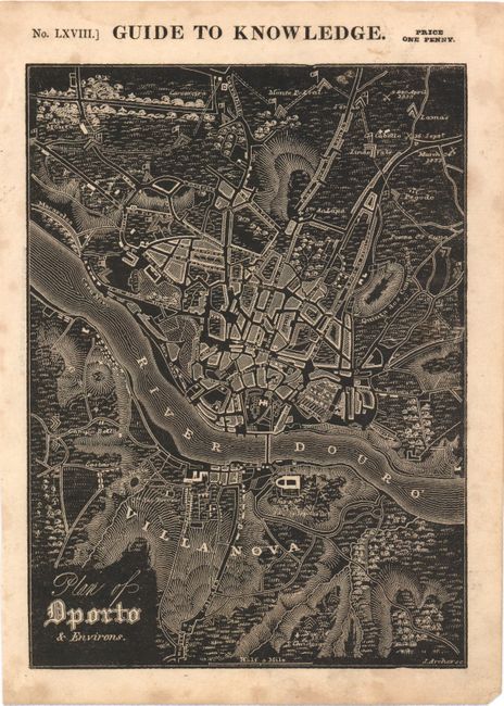
"[Lot of 6] Western Hemisphere [and] Eastern Hemisphere [and] North America [and] Africa [and] Map of the Polar Regions… [and] Plan of Dporto & Environs", Pinnock, W.

Subject: World & Continents

Period: 1832-33 (circa)

Publication: Guide to Knowledge

Color: Black & White

Size:
6.8 x 8.5 inches
17.3 x 21.6 cm
Download High Resolution Image
(or just click on image to launch the Zoom viewer)

This set of very unusual and uncommon wood engraved maps appear like a photographic negative, with black backgrounds and white lines. The set includes Western Hemisphere; Eastern Hemisphere; North America; Africa; Map of the Polar Regions, Shewing all the Discoveries as Made by British Officers, including Ross, 1st & 2nd Voyage, Parry, 1st 2nd 3rd Voyage, Franklin, Scores by &c. from 1818 to 1833; and Plan of Dporto & Environs. Engraved by Joshua Archer and published by William Edwards.

References:

Condition: B+

Light toning and marginal soiling. There are a few short tears in lower and right-hand blank margins of <i>Western Hemisphere</I>, one of which just enters neatline at right.

Estimate: $200 - $240

Sold for: $150

Closed on 12/7/2011

Archived