Catalog Archive
Auction 138, Lot 14
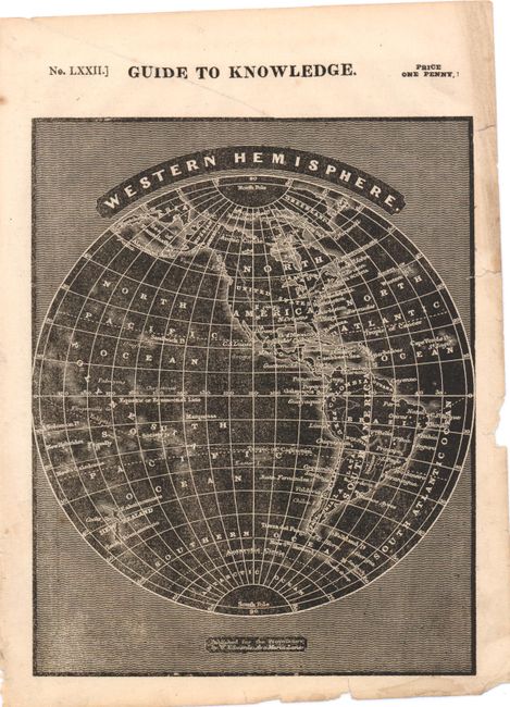
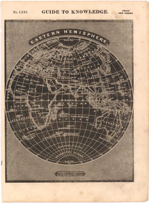
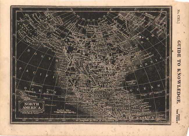
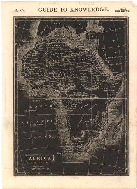
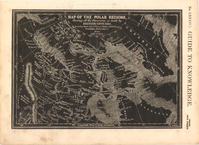
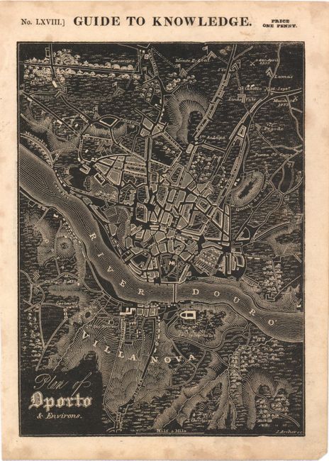
"[Lot of 6] Western Hemisphere [and] Eastern Hemisphere [and] North America [and] Africa [and] Map of the Polar Regions… [and] Plan of Dporto & Environs", Pinnock, W.
1 of 6
Subject: World & Continents
Period: 1832-33 (circa)
Publication: Guide to Knowledge
Color: Black & White
Size:
6.8 x 8.5 inches
17.3 x 21.6 cm
Download High Resolution Image
(or just click on image to launch the Zoom viewer)
(or just click on image to launch the Zoom viewer)