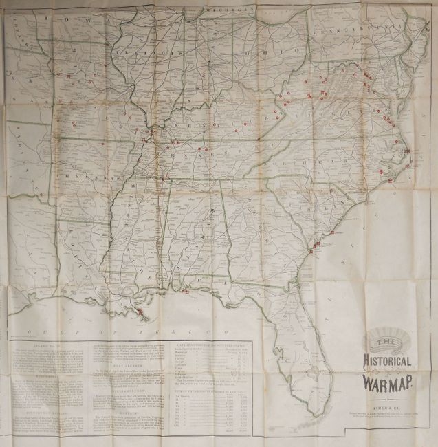
Subject: United States - Southern
Period: 1862 (dated)
Publication:
Color: Hand Color
Size:
24 x 24 inches
61 x 61 cm
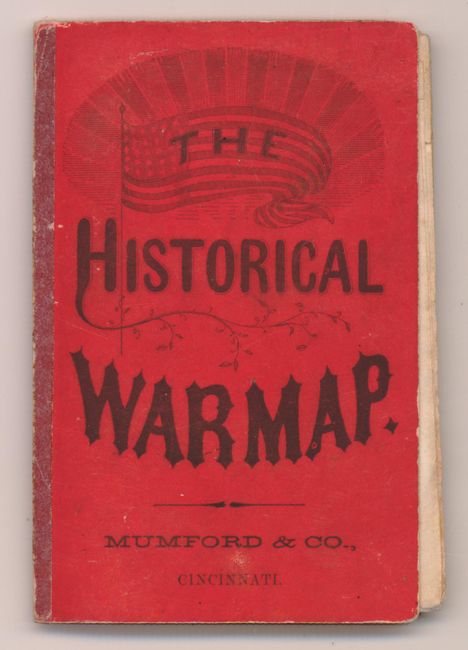
This pocket map is the very uncommon first issue of Asher's important map of the Civil War battlefields. This map shows actions up to May 10, 1862 with the siege of Norfolk and the destruction of the Merrimac. Unlike Asher's later issues, this issue does not have a separate page listing of battles. They are instead listed on the map itself. In all, thirty-six battles are listed through May 1862, making it one of the first publications listing battlefield sites. Each battle listed has a date and brief description of the battle as well as Union (but not Confederate) casualties. There are also dates of secession for the Confederate states as well as the results of the voting in Kentucky for secession. The map covers the general area of the war showing towns, railroads, waterways, forts, etc. State boundaries are colored green and battle sites are located with a reddish overprinted circle. The map folds into stiff red pictorial covers with advertising for Mumford & Co. of Cincinnati. A scarce issue.
References: Stephenson #23.
Condition: B+
The map is very clean with only some very light soil, most of which is on folds. There are a few tiny fold intersection holes mostly reinforced on verso with small pieces of archival tape. The covers have light wear with archival tape re-enforcement at the spine.