Subject: Atlas - Holy Land
Period: 1827 (dated)
Publication:
Color: Hand Color
Size:
4.3 x 5.2 inches
10.9 x 13.2 cm
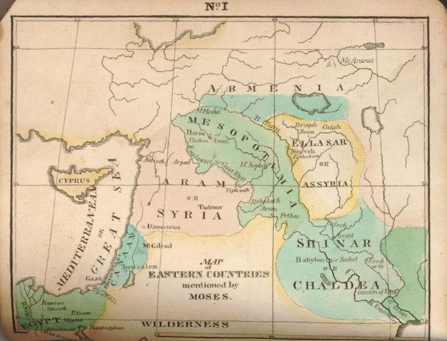
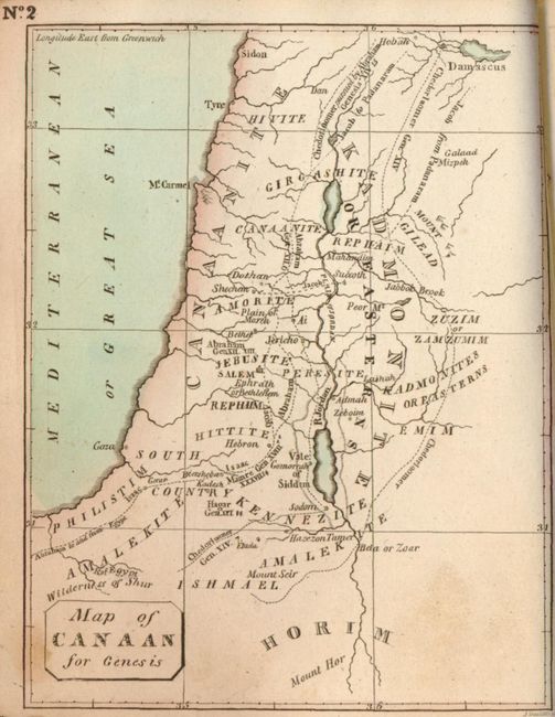
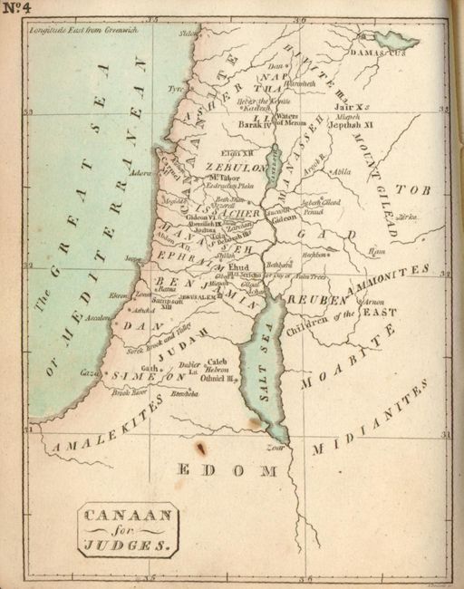
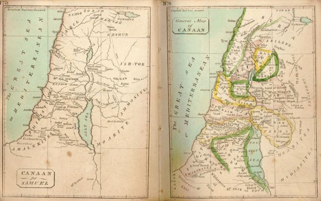
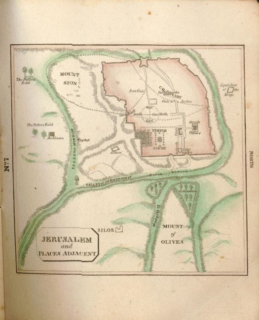
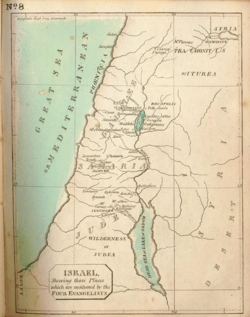
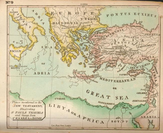
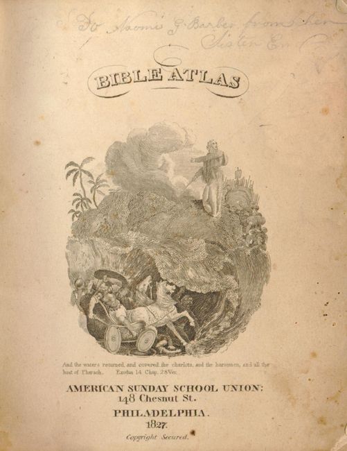
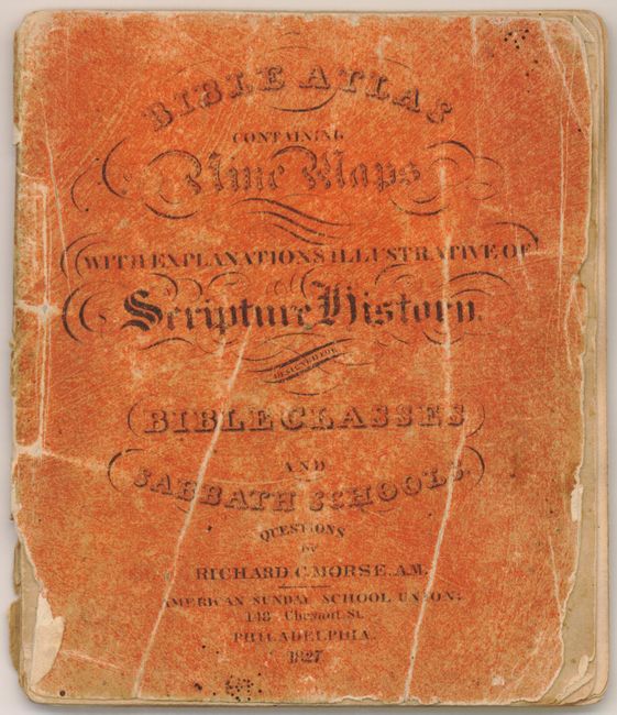
This small atlas is rare and possibly the first American produced Bible Atlas, by Richard C. Morse, American Sunday School Union, Philadelphia. It contains nine maps and several text pages explaining the maps in a biblical context and includes several pages of Scripture Questions from the Old and New Testament. The maps include:
1) Map of Eastern Countries mentioned by Moses. (4.8 x 4").
2) Map of Canaan for Genesis. (3.7 x 4.8").
3) Journeyings of Israel in the Wilderness. (3.8 x 4.8").
4) Canaan for Judges. (3.6 x 4.8").
5) Canaan for Samuel. (3.6 x 4.8").
6) General Map of Canaan. (3.7 x 4.8").
7) Jerusalem and Places Adjacent. (3.6 x 3.5").
8) Israel, Shewing those Places which are mentioned by the Four Evangelists. (3.7 x 4.8").
9) Places mentioned in the New Testament, Illustrating St. Pauls Travels and Voyage from Caesarea to Rome. (4.6 x 3.8").
Orange printed wrappers, engraved title page, maps, text. We find no prior sales records and the only example found is in the Yale Library.
References:
Condition: B+
Maps are generally very good, but occasional scattered foxing. The covers are worn with some creasing, the spine is torn and missing some paper, mostly at bottom.