Catalog Archive
Auction 133, Lot 416

"Regni Daniae, Novissima et Accuratissima Tabula", Visscher, Nicolas
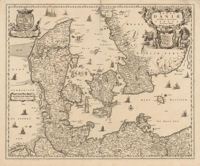
Subject: Denmark

Period: 1670 (circa)

Publication:

Color: Black & White

Size:
21.6 x 17.8 inches
54.9 x 45.2 cm
Download High Resolution Image
(or just click on image to launch the Zoom viewer)

Magnificent map of all of Denmark, the northern tip of Germany and the southern tip of Sweden. The land is fully engraved with mountains, forests and cities, while the sea is filled with various types of ships, including two engaged in battle. The title cartouche is quite elaborate with a host of livestock, putti, and two men with clubs standing guard over the coat of arms in the center. The crest of King Frederik III balances the left of the map.

References:

Condition: B+

There is an old paper repair on a 3" fold separation at top.

Estimate: $300 - $400

Unsold

Closed on 9/1/2010

Archived