Catalog Archive
Auction 133, Lot 327

"Carte des Antilles Francoises et des Isles Voisines Dressee sur des Memoires Manuscrits", Chatelain, Henry Abraham

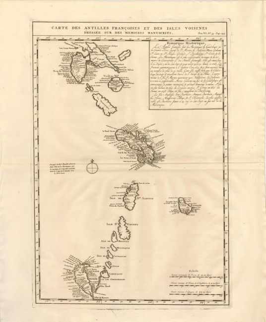
Subject: Lesser Antilles

Period: 1720 (circa)

Publication:

Color: Black & White

Size:
12.8 x 18.7 inches
32.5 x 47.5 cm
Download High Resolution Image
(or just click on image to launch the Zoom viewer)

This is Chatelain's version of Delisle's map of the Antilles that includes the interesting cartographic error of an upside-down Grenada. It extends from Guadeloupe to Grenade and includes Barbados. Numerous place names are shown, as are the locations of forts, churches, rivers, towns and villages. French text describes the European discovery and history of the islands.

References:

Condition: A

Sharp impression with some worm holes in the right margin, well away from the map.

Estimate: $200 - $275

Sold for: $130

Closed on 9/1/2010

Archived