Catalog Archive
Auction 132, Lot 640

"Carte du Golfe de Bengale, Mer des Indes, et Riviere du Gange…", Aa, Pieter van der
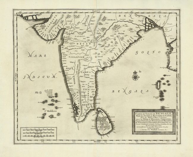
Subject: India

Period: 1720 (circa)

Publication:

Color: Black & White

Size:
13.6 x 11 inches
34.5 x 27.9 cm
Download High Resolution Image
(or just click on image to launch the Zoom viewer)

This is a finely engraved map of India and Ceylon (Sri Lanka) including the Maldives and Andaman islands. There are soundings noted along the east coasts of India and Sri Lanka in the Gulf of Bengal. India is shown with its major kingdoms and there is more detail along the coastlines than in the interior.

References:

Condition: A

Minor fold separations have been repaired with archival tape, else fine with a lovely impression.

Estimate: $200 - $250

Unsold

Closed on 6/2/2010

Archived