Subject: Geography Books
Period: 1850 (dated)
Publication:
Color: Hand Color
Size:
9.5 x 12.5 inches
24.1 x 31.8 cm
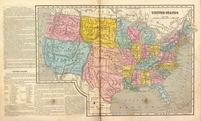
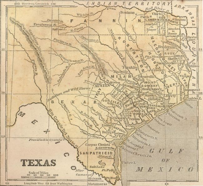
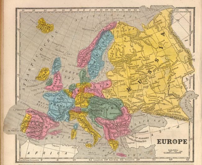
Morse's popular series of geographies, with their easy to read maps and fact-filled text, quickly became a standard for American educators during the early 19th century. This edition contains a total of 53 wax-engraved maps including a double-page map of the United States that features a large Indian Territory that stretches as far west as the Rocky Mountains, a large Territory of Iowa that includes most of Minnesota and the Dakotas, and a large Texas with New Mexico attached that extends up to Pikes Peak in today's Colorado. This is obviously an older map that shows the Independent Republic configuration. Another nice map is the North America, which perhaps also shows an Independent Texas. 4to. 72 pages. Complete. Hardbound in original decorative paper covered boards with a red leather spine.
References:
Condition: B
Spine with split along front edge and perished portions top and bottom. Covers with some soiling and starting at front cover. Contents with scattered foxing, most maps are good to very good. Free end papers with many ink and pencil notations, plus some pencil on verso of tile page.