Subject: Geography Books
Period: 1791 (dated)
Publication:
Color: Black & White
Size:
2.5 x 4 inches
6.4 x 10.2 cm
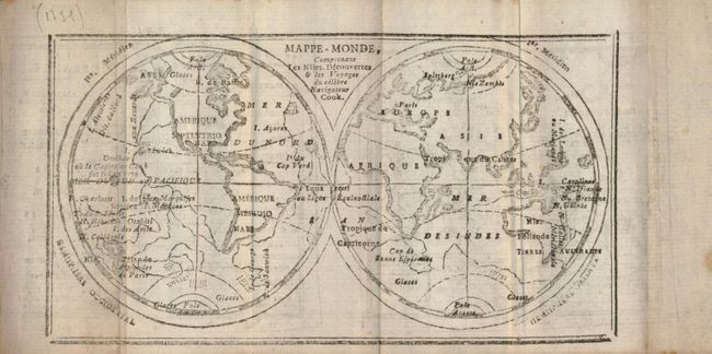
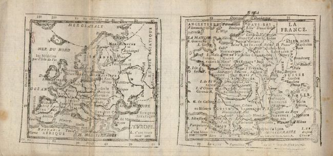
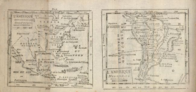
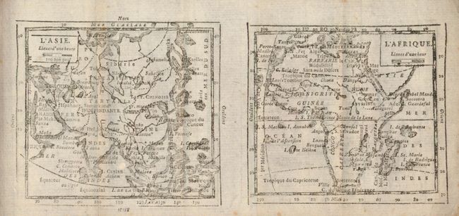
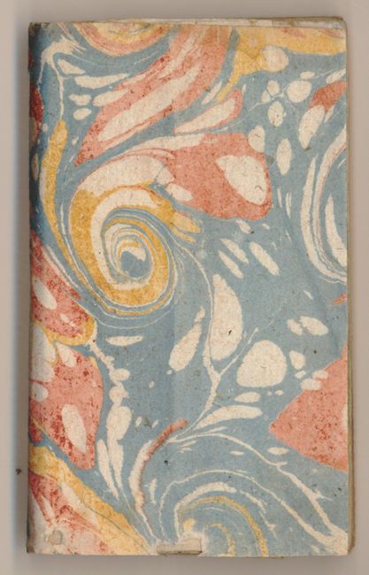
This uncommon and complete miniature geography includes a folding double hemispheric map "Mappe - Monde Comprenant Les Niles. Decouvertes & les Voyages du celebre Navigateur Cook" with maps of Europe and France on the verso, a very uncommon configuration for this period. Another folding map has maps of Asia and Africa on one side and maps of North America and South America on the other side. Marbled paper covers, 12mo, title page, 126 pp, seven maps on four sheets. With tables giving the positions of planets and celestial bodies throughout the year, the history of French monarchs and politicians, and a section on each country in Europe and for the continents. Published during the reign of King Louis XVII in Paris by Langlois and Deschamps.
References:
Condition: B+
Interior text and the last maps are generally clean and very good. The first few pages including the world map have scattered foxing, are sound and generally good. Marbled paper covers with small worm track and a hole at bottom edge. No hardbound boards.