Subject: Atlases
Period: 1908 (dated)
Publication:
Color: Printed Color
Size:
11.7 x 14.3 inches
29.7 x 36.3 cm
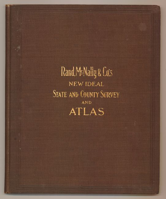
This world atlas has an Indiana focus with text, photographs and a double page map "Dearborn Co., Indiana." The map locates railroads, electric railroads, stone roads, highways plus locating individual schools, county lanes and other fine detail. The very large folding "New Travel Chart and Distance Table of the World" (37" x 13") is a bizarre assembly on Mercator's Projection that duplicates every continent twice. Covered with blue overprinting to show major sea routes throughout both worlds. Besides the state maps there are thematic and historical maps plus maps of the rest of the world. A later atlas that is worthy due to its fine condition.
References:
Condition: A+
Contents and maps are fine. The cloth covers have a few light spots, still fine overall.