Subject: Atlases
Period: 1900 (published)
Publication:
Color: Printed Color
Size:
11.5 x 14.5 inches
29.2 x 36.8 cm
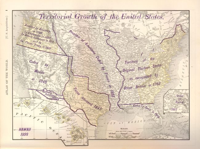
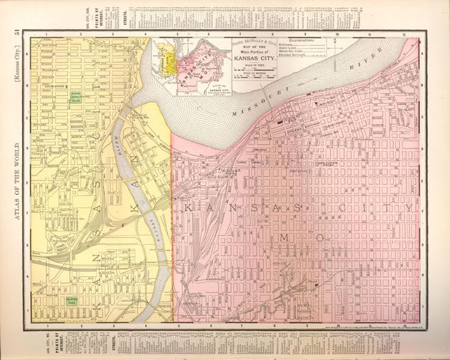
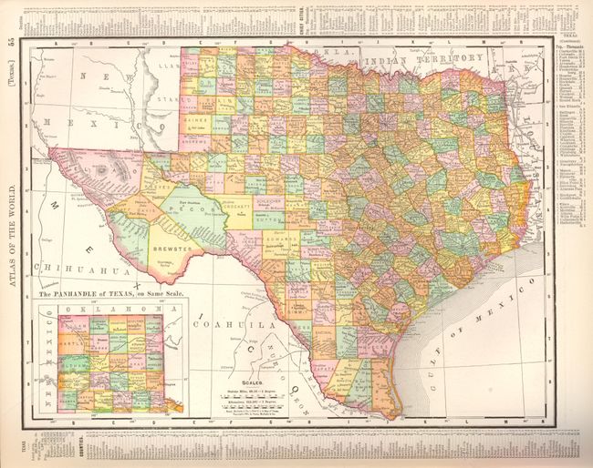
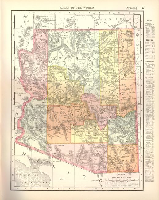
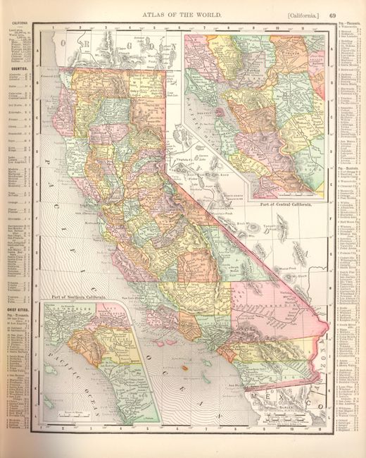
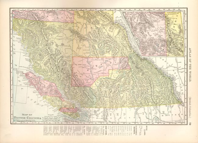
Complete atlas with 78 single-page and 44 double-page maps. All double-page maps are printed on two sheets. This is a world atlas, but the majority of the maps are of U.S. interest, including all states and territories and numerous city plans. The atlas is illustrated with dozens of black and white photographs interspersed throughout the text, including presidential portraits and a facsimile of the U.S. constitution. Title, introduction, table of contents, text and maps, 456 pp., including an exhaustive 94-page listing of towns and counties for each state. This edition contains at back the "History of the Spanish-American War with Handy Atlas Maps and Full Description of Recently Acquired United States Territory" copyright 1898. This 16pp supplement contains sections on the events in chronological order, as well as sections describing the history of the Philippine Islands, Alaska, Hawaii, Cuba and Puerto Rico. Contains maps for each including a double page map of Alaska that includes the Canadian and U.S. west coast down to San Francisco. Hardbound in original blue-gray cloth with red leather spine and tips. Gilt and embossed title to cover with graphic elements including a compass rose and sailing ship.
References:
Condition: B+
The maps are all fine. First couple of pages are loose, front cover is split at end paper, but contents are fine or very good. Cover is very good but spine is split and lifted at top and bottom with small loss at bottom.