Subject: Atlases
Period: 1897 (dated)
Publication:
Color: Printed Color
Size:
9 x 12 inches
22.9 x 30.5 cm
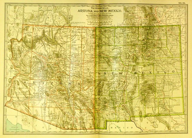
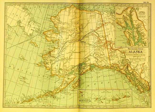
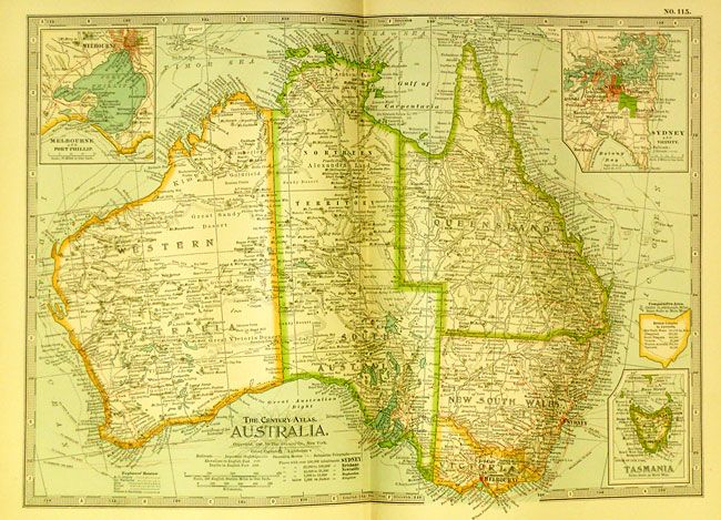
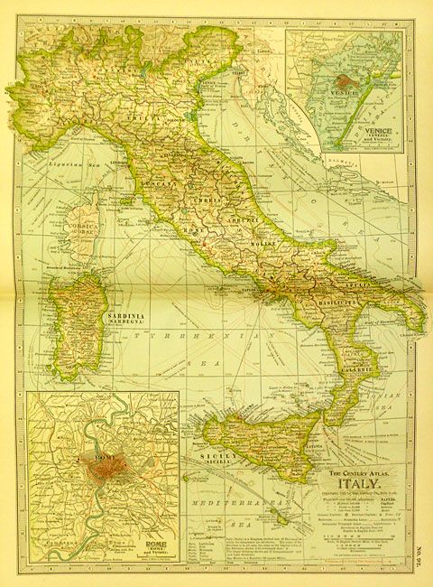
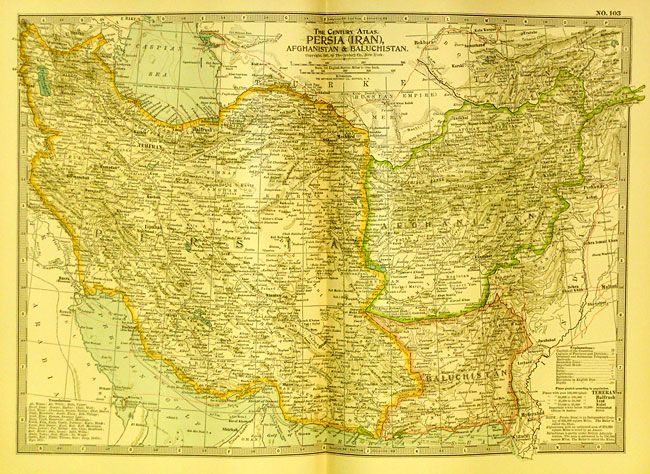
This atlas has 137 of 138 map plates, plus 39 historical and astronomical maps on 20 plates that make up the first section before the numbered maps. The main section of modern geographical maps follows, and has an exhaustive 402 page index. The maps are packed with detail, and beautifully printed with the railroads shown in red. All are printed on one side only and tipped in, unusual for atlases of this period. Map #2 World in Hemispheres is missing. 4to. Original leather-bound hardboards with gilt raised bands and title on spine. A huge collection of maps in this first edition atlas.
References:
Condition:
The map of the world in hemispheres is missing, and plate #3 Region Around the North Pole is split in half. Covers rubbed and a little faded. Contents tight except page iii/iv is loose.