Subject: Atlases
Period: 1862 (dated)
Publication:
Color: Hand Color
Size:
15 x 18.5 inches
38.1 x 47 cm
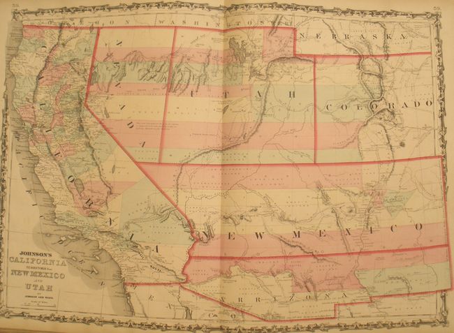
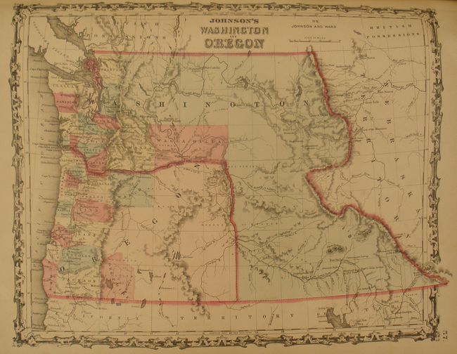
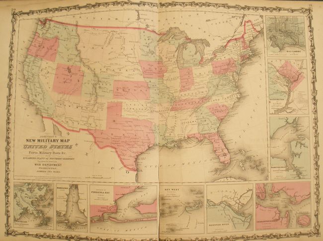
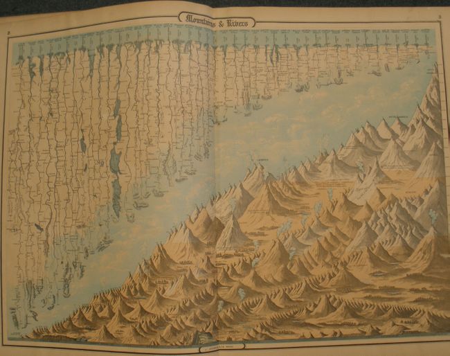
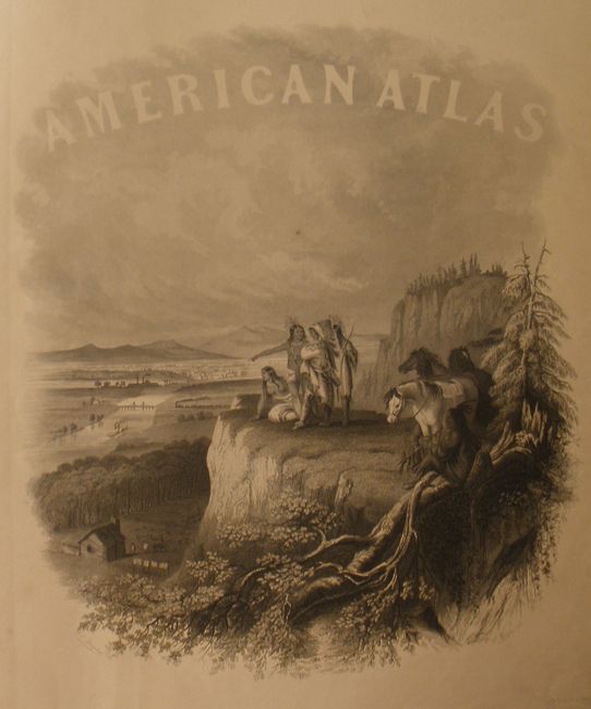
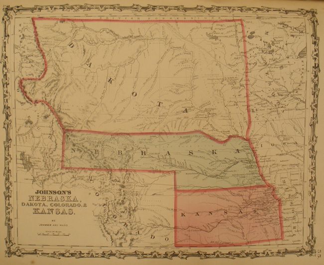
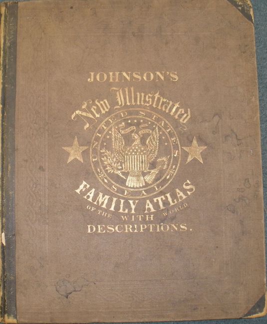
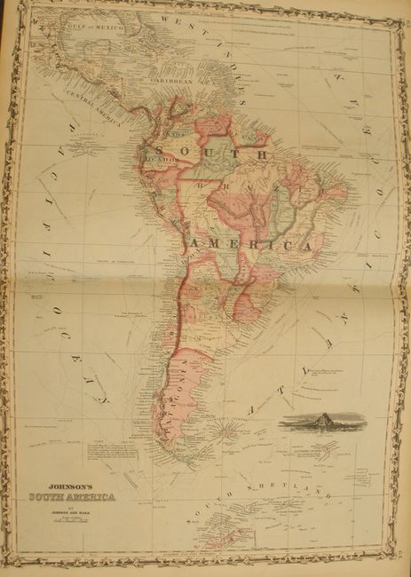
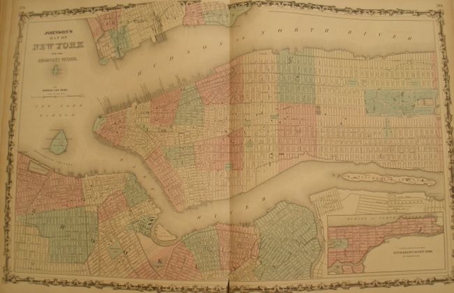
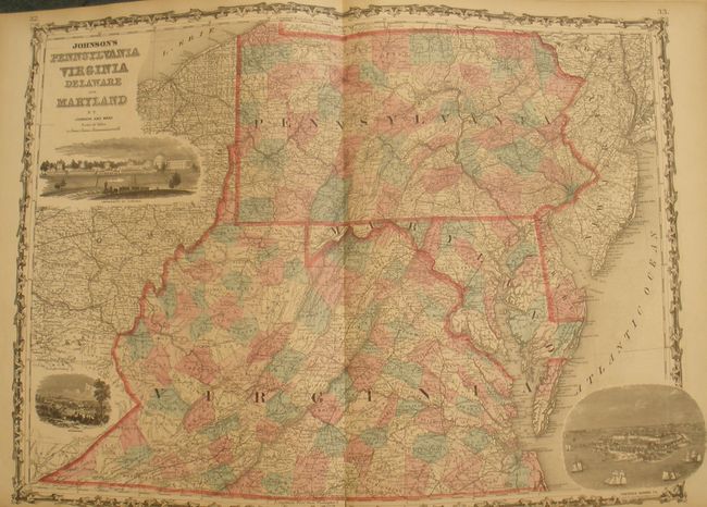
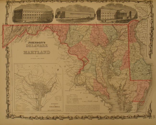
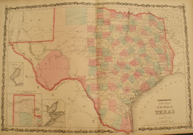
This is the "late 1862" edition of this desirable atlas. It is highlighted by the short-lived New Military Map of the United States that illustrates the states and territories instead of the military districts. It also includes the fine map of the Southwest California, Territories of New Mexico and Utah that features the confederate Arrizona Territory. Other highlights in this atlas are Georgetown and the City of Washington; the double page New Map of the State of Texas and a beautifully engraved frontispiece. This complete atlas contains 43 single-page and 23 double-page maps including several thematic maps and diagrams interspersed throughout the text. The historical map of Ancient Greece and Rome is listed, but is not present and was never in this issue. Folio. Brown cloth boards with quarter leather spine and tips with gilt title on front and spine.
References:
Condition: B+
A few single page maps are beginning to crack at spine, well away from map image, and frontis is loose. The first few pages are a little soiled. A long (5") tear from edge of the southwest map and the Military map is mostly split. The paper is sound but beginning to become brittle as evidenced by a few pages at center with lower tip broken. Covers are stained and sunned with spine abraded, fully so along the edges.