Catalog Archive
Auction 131, Lot 877

"Partie de l'Afrique audela de l'Equateur, Comprenant le Congo, la Cafrerie &c.", Brion de la Tour/Desnos

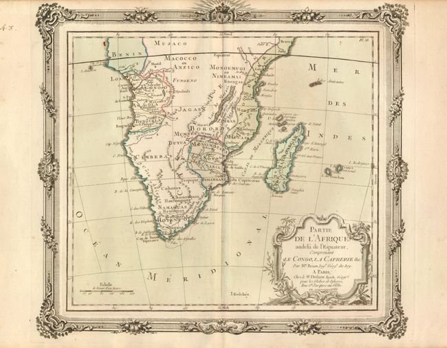
Subject: Southern Africa

Period: 1766 (dated)

Publication:

Color: Hand Color

Size:
12 x 10.7 inches
30.5 x 27.2 cm
Download High Resolution Image
(or just click on image to launch the Zoom viewer)

The cartographical content of this decorative map of southern Africa is moderately accurate. Hottentot tribes are mentioned and Fort Hollandois is shown at the Cape. The western coast is labeled Cote Deserte with the kingdoms of Benguela, Angola, Congo and Benin delineated. On the east coast several kingdoms are shown including Monomotapa and Zanguebar. The title is enclosed in a decorative cartouche and map is enclosed in a rococo style border (printed from a separate copper plate), making this a very desirable map.

References:

Condition: A

Good impression and original color with a hint of toning along the centerfold.

Estimate: $150 - $200

Sold for: $110

Closed on 3/17/2010

Archived