Catalog Archive
Auction 131, Lot 854

"Africae Propriae Tabula. In qua, Punica Regna Vides, Tyrios, et Agenoris Urbem", Jansson, Jan

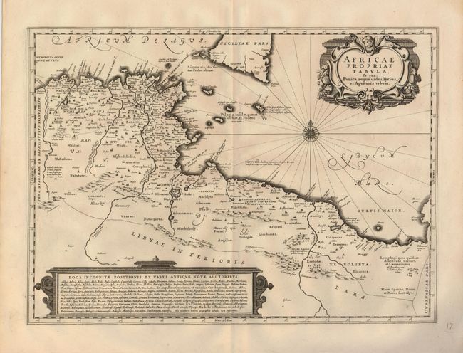
Subject: Northern Africa

Period: 1655 (circa)

Publication:

Color: Black & White

Size:
20 x 14.5 inches
50.8 x 36.8 cm
Download High Resolution Image
(or just click on image to launch the Zoom viewer)

Decorative map of the coastline covering present-day Tunisia and Libya. It is based on Ortelius' map of the same title, which in turn was based on Gastaldi's great map of Africa and the ancient texts of Diodorus, Siculus, Plinius, Virgilius, Appianus, Halicarnasseus, Athenaeus and Herodotus. The map extends to include Sicily and Malta. Richly embellished with a fine title cartouche, a compass rose, and a large text block enclosed in a strapwork cartouche.

References:

Condition: A

Fine impression and wide original margins. There is a short separation of the bottom fold and a manuscript brown ink page number, neither of which is near the map.

Estimate: $400 - $500

Unsold

Closed on 3/17/2010

Archived