Catalog Archive
Auction 131, Lot 799

"Carte des Indes et de la Chine…", Delisle/Covens & Mortier

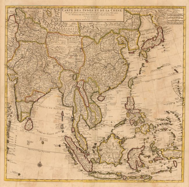
Subject: East and South East Asia

Period: 1730 (circa)

Publication:

Color: Hand Color

Size:
24.75 x 24.2 inches
62.9 x 61.5 cm
Download High Resolution Image
(or just click on image to launch the Zoom viewer)

This large, attractive map covers the vast region extensively explored by the Europeans with particular emphasis on the trade routes on the mainland and the islands of the Philippines and the East Indies. In Japan, Hokkaido (Terre d' Yeco ou d'Eso) is attached to the Asian mainland, and the Sea of Japan is named Mer Orientale ou Mer de Coree. Two sheets, joined, as issued.

References:

Condition: B

Good impression and original color with scattered foxing and offsetting. The paper joint is partially lifted.

Estimate: $450 - $550

Sold for: $425

Closed on 3/17/2010

Archived