Catalog Archive
Auction 131, Lot 765

"Judea or the Holy Land", Stackhouse, Thomas
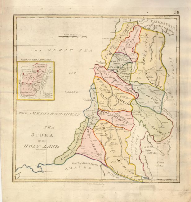
Subject: Holy Land

Period: 1790 (dated)

Publication:

Color: Hand Color

Size:
14.5 x 14.5 inches
36.8 x 36.8 cm
Download High Resolution Image
(or just click on image to launch the Zoom viewer)

This English map of the Holy Land shows the division among the Tribes on both sides of the Jordan River with the shoreline running from Sidon (Sayda) to Rhinocorura (El Arish). Gaza is noted as the Land of the Philistines. The Bay of Acco is enlarged and Haifa is absent. A small plan of the ancient city of Jerusalem is inset at left. The map was first published Dec. 1, 1782; this edition is dated June 1, 1790.

References: Laor #747.

Condition: B+

Original color with some surface soil.

Estimate: $150 - $200

Sold for: $100

Closed on 3/17/2010

Archived