Catalog Archive
Auction 131, Lot 728

"Hispania et Africae pars Occidentalis", Bocharti, Samuelis

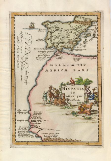
Subject: Strait of Gibraltar, Spain & Portugal, Northwest Africa

Period: 1712 (published)

Publication: Geographia sacra, seu Phaleg et Canaan

Color: Hand Color

Size:
7.6 x 11.3 inches
19.3 x 28.7 cm
Download High Resolution Image
(or just click on image to launch the Zoom viewer)

This is a very unusual map in that it covers all of the Iberian Peninsula and the northwestern part of Africa from Algeria to Senegal. The map illustrates the extent of travels by Phoenician seafarers in the region. Several place names are given in Latin, Greek and Hebrew. The interior of Africa is filled with the large title cartouche that is decorated with a shepherd, hunters, a trader and his camels and lions.

References:

Condition: A+

Estimate: $200 - $275

Sold for: $150

Closed on 3/17/2010

Archived