Catalog Archive
Auction 131, Lot 665

"Tabula Europae VIII", Munster, Sebastian

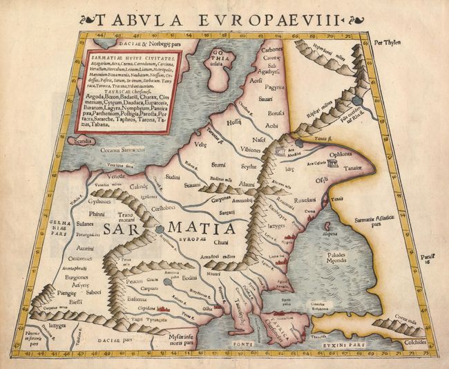
Subject: Eastern Europe, Russia

Period: 1541 (circa)

Publication: Claudii Ptolemaei Alexandrini Geographicae

Color: Hand Color

Size:
13 x 10.5 inches
33 x 26.7 cm
Download High Resolution Image
(or just click on image to launch the Zoom viewer)

This map covers Eastern Europe, known in ancient times as Sarmatia, encompassing the region between the Baltic and Black Seas and between the Vistua and Volga Rivers. The map is typically Ptolemaic - set within a trapezoidal frame with rope-like mountain ranges and broad rivers.

References:

Condition: A

There are some minor repairs in the blank margins.

Estimate: $300 - $400

Sold for: $500

Closed on 3/17/2010

Archived