Catalog Archive
Auction 131, Lot 633

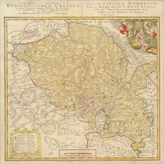
"Geographische Verzeichnung des Budissinischen Creises in dem Marggrafthum Ober Lausitz…", Homann Heirs

Subject: Germany

Period: 1746 (dated)

Publication:

Color: Hand Color

Size:
18 x 16.8 inches
45.7 x 42.7 cm
Download High Resolution Image
(or just click on image to launch the Zoom viewer)

This is a very detailed map of the vicinity of Bautzen in eastern Saxony. The district is bounded by mountains and filled with forests and tiny villages. An extensive key in a cartouche at lower left identifies a variety of churches, schools, blacksmiths, and mills. The cartouche in the opposite corner features a group of putti working with textiles, a major industry of the region, and the coats of arms. There is also a French title, Carte du Cercle de Budissin dans le Marggrafiat de la Haute Lusace…

References:

Condition: B+

Light impression and color. The margins have been trimmed, but are still ample and there is a short tear in the bottom blank margin.

Estimate: $100 - $140

Sold for: $75

Closed on 3/17/2010

Archived