Catalog Archive
Auction 131, Lot 601

"Carte de la Cote Meridionale de Portugal et d'Espagne…", Depot de la Marine

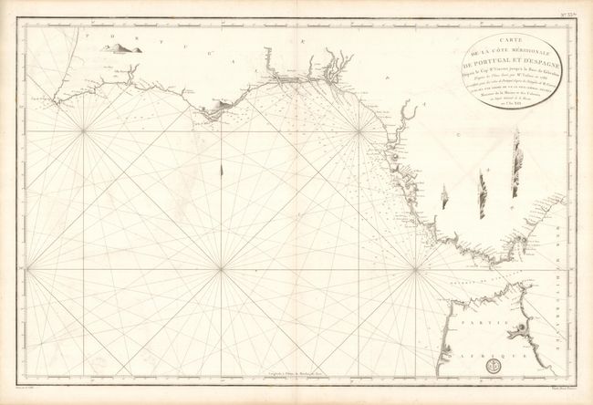
Subject: Spain & Portugal

Period: 1786 (dated)

Publication:

Color: Black & White

Size:
34.5 x 22.8 inches
87.6 x 57.9 cm
Download High Resolution Image
(or just click on image to launch the Zoom viewer)

This is uncommon, large-scale sea chart shows the strategic Strait of Gibraltar and the coast of Spain & Portugal up to Cape St. Vincent. The map is packed with information on the fortifications and villages along the sea coast and includes soundings, anchorages, lighthouses, etc. There are four coastal approach views included. The seal of the Depot de la Marine is at lower right with Prix Deux Francs below the neatline. Engraved by E. Collin.

References:

Condition: A

Estimate: $200 - $250

Sold for: $300

Closed on 3/17/2010

Archived