Catalog Archive
Auction 131, Lot 593

"[Lot of 2] Tabula Europae II [and] Hispania III Nova Tabula", Munster, Sebastian

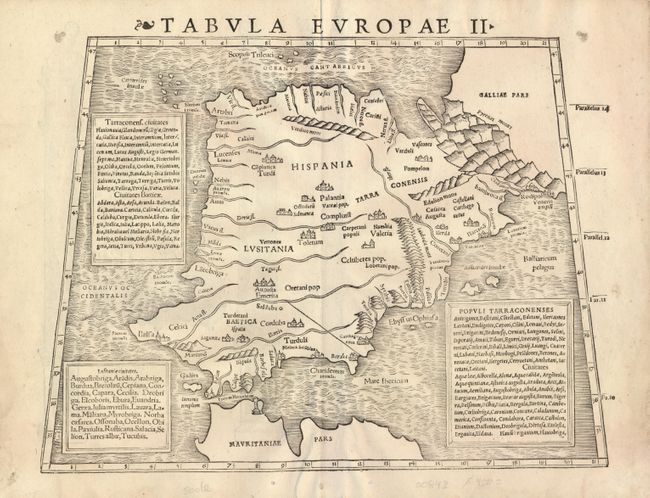
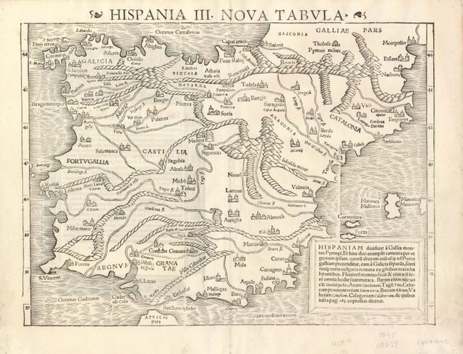
Subject: Spain & Portugal

Period: 1545 (circa)

Publication: Geographia

Color: Black & White

Size:
13.4 x 10.2 inches
34 x 25.9 cm
Download High Resolution Image
(or just click on image to launch the Zoom viewer)

This is a fascinating pair of early woodblock maps describing the Iberian peninsula. This first is presented according to Ptolemy and the classic texts. It is filled with Roman and ancient place names. While recognizable, the peninsula is considerably narrower. The second map is the modern map, which still falls quite short of the actual topography, though cities and rivers are well depicted. Sizes vary slightly.

References:

Condition: A

Both nice impressions. There are some small worm holes in the Ptolemaic map, two of which are on the bottom neatline. There is a repaired tear, a couple small tears and a two tiny worm holes in the blank margins of the modern map.

Estimate: $650 - $750

Sold for: $475

Closed on 3/17/2010

Archived