Catalog Archive
Auction 131, Lot 592

"Tabu. Nova Hispaniae", Fries, Lorenz

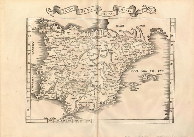
Subject: Spain & Portugal

Period: 1522 (published)

Publication: Claudii Ptolemaei Alexandrini Geographicae…

Color: Black & White

Size:
16.6 x 13.1 inches
42.2 x 33.3 cm
Download High Resolution Image
(or just click on image to launch the Zoom viewer)

This fine woodcut map is one of the earliest modern maps of the Iberian peninsula. It was reduced from Waldseemuller's 1513 map from the first modern atlas based on contemporary knowledge. Convoluted mountain ranges dominate the map, but most of the place names are recognizable. The title is contained in a banner in the top margin. Blank verso.

References:

Condition: A

Sharp impression and wide original margins with a hint of toning at centerfold, else fine.

Estimate: $800 - $1,000

Sold for: $1,100

Closed on 3/17/2010

Archived