Subject: France
Period: 1850 (circa)
Publication: Atlas National Illustre
Color: Hand Color
Size:
11 x 16 inches
27.9 x 40.6 cm
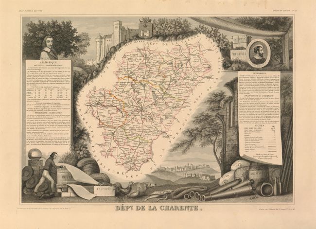
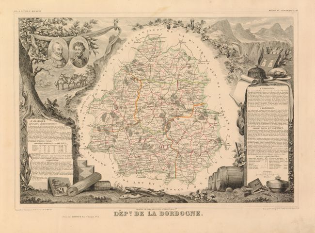
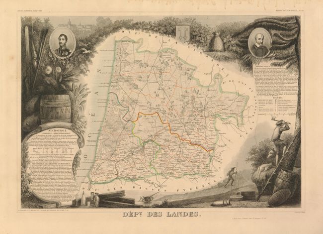
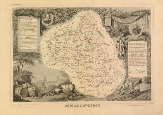
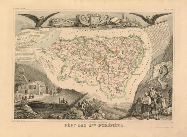
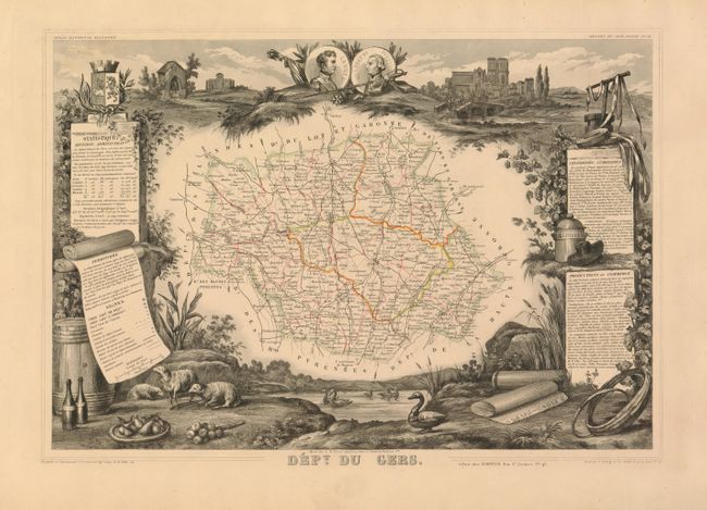
Victor Levasseur's "Atlas National Illustre" and "Atlas Universel Illustre" are among the last decorative atlases published. The maps are all lavishly illustrated with scenes of the countryside, products and activities indigenous to the region.
Nice group of decorative 19th century maps, each surrounded by elaborate scenes of regional products and history. 1) Dept. de la Charente Infre. is now known as Charente-Maritime. Features a portrait of the famous writer Balzac. 2) Dept. de la Dordogne is located within the region of Aquitaine. This map is surrounded by the diverse regional products. 3)Dept. des Landes is within the Aquitaine region. The area specializes in wine and agriculture. 4)Dept. de l'Aveyron is within the Midi-Pyrenees region. This map is beautifully surrounded with grapes, game and busts of prominent people. ) 5) Dept. des Bses. Pyrenees is now known as Pyrenees-Alantiques. This map is embellished with pastoral scenes of the mountainous region. 6) Dept. du Gers is within the Midi-Pyrenees region and is embellished with game, textiles and grapes. Size varies slightly.
References:
Condition: A
Original outline color within the maps. Minor soil and spots in blank margins.