Catalog Archive
Auction 131, Lot 587

"Tabula Geographica Campaniae", Homann, Johann Baptist
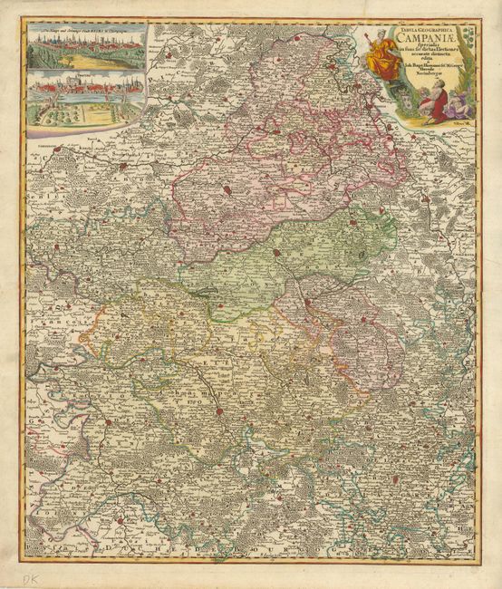
Subject: France

Period: 1750 (circa)

Publication:

Color: Hand Color

Size:
19 x 22.3 inches
48.3 x 56.6 cm
Download High Resolution Image
(or just click on image to launch the Zoom viewer)

Beautifully detailed map of the Champagne region in France, showing the topography and towns of Compiegne, Menziere and Reims in the north to Sens, Troyes and Langres in the south. At upper left are two finely engraved bird's eye views of Troyes and Reims. The decorative cartouche features two satyrs imbibing in champagne.

References:

Condition: A

Beautiful example with fine original color and very dark, early impression. A long split has been expertly repaired on verso. A slight printer's crease is in the upper right.

Estimate: $230 - $300

Sold for: $150

Closed on 3/17/2010

Archived