Subject: France
Period: 1745 (dated)
Publication:
Color: Hand Color
Size:
22.2 x 20 inches
56.4 x 50.8 cm
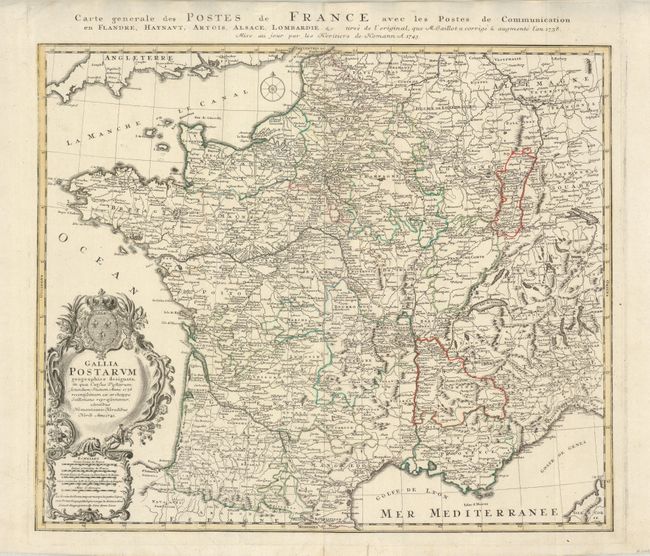
This is an extremely detailed map showing all the postal routes and offices throughout France. The map was originally drawn in 1738 by Jaillot and updated here by the Homann firm. The large decorative title cartouche includes two postmen galloping on their trusty steeds. An additional title is in the top margin: "Carte generale des Postes de France avec les Postes de Communication en Flandre, Haynaut, Artois, Alsace, Lombardie &c."
References:
Condition: B+
Original outline color. Short tear in lower margin, repair on verso to lower centerfold and a small light printer crease reaches cartouche.