Catalog Archive
Auction 131, Lot 584
"Regnum Galliae: divisum in duodecim Gubernationes Piccardiae, Normandiae, Insulae Franciae, Britanniae, Aureliae, Burgundiae, Lugdini, Aquitaniae, Languedoci, Delphinatus et Provintiae …", Valck, Gerard and Leonard
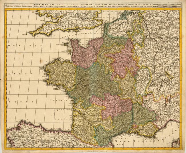
Subject: France
Period: 1700 (circa)
Publication:
Color: Hand Color
Size:
23.5 x 19.3 inches
59.7 x 49 cm
Download High Resolution Image
(or just click on image to launch the Zoom viewer)
(or just click on image to launch the Zoom viewer)