Catalog Archive
Auction 131, Lot 555

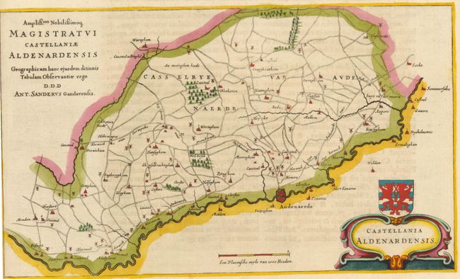
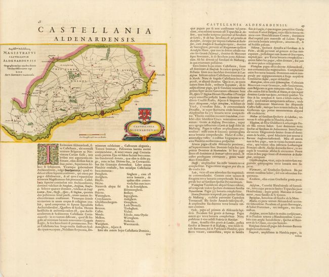
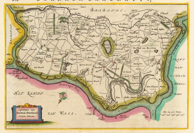
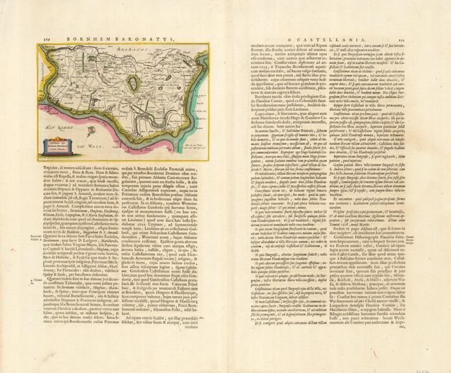
"[Lot of 2] Castellania Aldenardensis [and] Castellaniae sive Baronat: Bornhemii Accurata Delineatio", Blaeu, Johannes

Subject: Belgium

Period: 1662 (circa)

Publication: Atlas Maior

Color: Hand Color

Size:
See Description
Download High Resolution Image
(or just click on image to launch the Zoom viewer)

Two detailed maps on important regions in Belgium. First (12 x 7") shows Oudenaarde and environs, the Flemish center of tapestry production during the Middle Ages. The second map (9 x 6.3") illustrates the vicinity of Bornem, now a suburb of Antwerp. The map is oriented with north in the lower left corner. Each map is on a full double-page sheet of Latin text from Blaeu's sumptuous Grand Atlas.

References:

Condition: A

Fine impressions and original color. Near fine except that the first map was trimmed to the neatline at left by the binder.

Estimate: $250 - $300

Sold for: $150

Closed on 3/17/2010

Archived