Catalog Archive
Auction 131, Lot 491

"Tabula Geographica quae Continet Totam Fere Europam et proxima Africae", Aa, Pieter van der

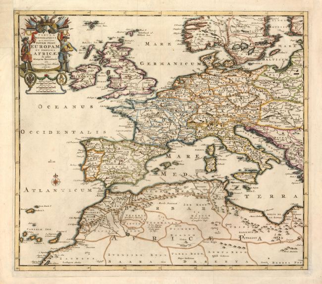
Subject: Mediterranean

Period: 1710 (circa)

Publication:

Color: Hand Color

Size:
16.6 x 14.6 inches
42.2 x 37.1 cm
Download High Resolution Image
(or just click on image to launch the Zoom viewer)

This interesting map covers Europe and Northern Africa. The decorative military-themed title cartouche is flanked by two soldiers. A small compass rose with fleur-de-lys floats in the Atlantic Ocean. The map is filled with place names, roads, political divisions, and some topographical information.

References:

Condition: A

Issued folded, now flattened, with the binding trim at upper left replaced to accommodate framing.

Estimate: $300 - $375

Sold for: $200

Closed on 3/17/2010

Archived