Catalog Archive
Auction 131, Lot 463

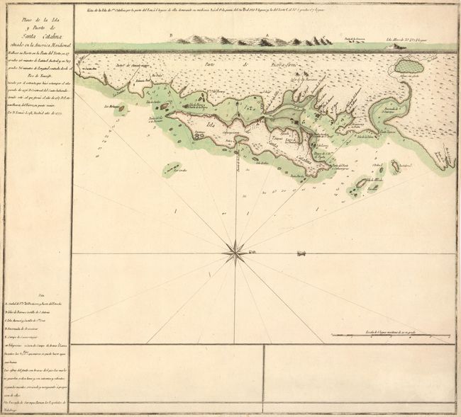
"Plano de la Isla y Puerto de Santa Catalina situado en la America Meridional", Lopez, D. Tomas

Subject: Brazil

Period: 1777 (dated)

Publication:

Color: Hand Color

Size:
16.5 x 15 inches
41.9 x 38.1 cm
Download High Resolution Image
(or just click on image to launch the Zoom viewer)

This is a rare Spanish map of Santa Catalina island, now the city of Florianopolis and an important tourist destination. The pristine island is shown here with a few small villages and several protected anchorages. A coastal approach view is provided at top.

References:

Condition: A

Original color with narrow but adequate margins, as issued.

Estimate: $275 - $350

Sold for: $1,100

Closed on 3/17/2010

Archived