Catalog Archive
Auction 131, Lot 424

"Stabilimenti de Francesi, Inglesi, e Spagnuoli nelle Isole Antille di nouva Projezione", Zatta, Antonio
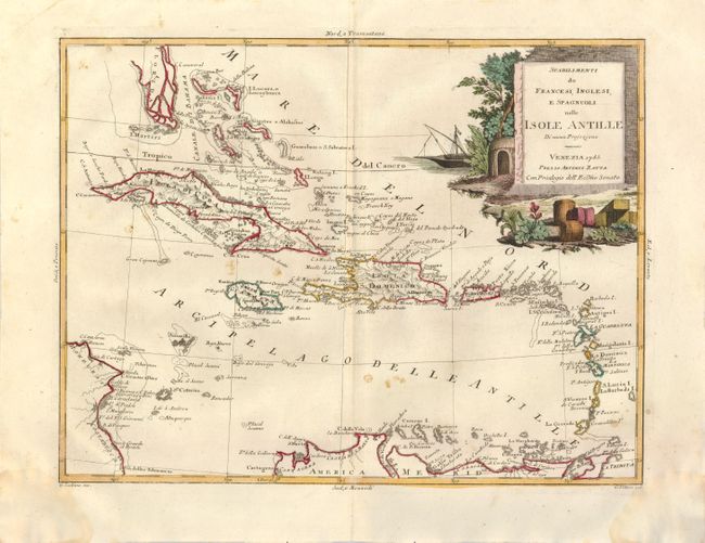
Subject: Caribbean

Period: 1785 (dated)

Publication:

Color: Hand Color

Size:
16.1 x 12.4 inches
40.9 x 31.5 cm
Download High Resolution Image
(or just click on image to launch the Zoom viewer)

This handsome and finely engraved chart of the Caribbean shows the colonial possessions of the French, British and Spanish. The map covers from the southern tip of Florida, naming Cape Canaveral, through to the northern coastline of South America and also part of the coastline of Costa Rica and Honduras. There is good details in the Bahamas. The lower part of Florida is a vast group of islands separated by wide sea channels. A large pictorial title cartouche fills the upper right corner.

References:

Condition: B

Original color in Zatta's unique palette with some scattered foxing in the map and some light damp stain in the bottom margin.

Estimate: $230 - $300

Sold for: $120

Closed on 3/17/2010

Archived