Subject: Mexico & Central America
Period: 1825 (published)
Publication: Atlas Universel
Color: Hand Color
The Atlas Universel was the first atlas to present all the maps on the same scale (1: 1,641,836), with each map covering an area of approximately 20 degrees longitude (from Paris) and 6 degrees of latitude. It was also considered to be the first lithographic atlas ever published. The maps were meant to be joined together to form a huge globe measuring 7.775 meters in diameter. There was only one edition of the atlas, published in 1825-27, and the subscription list shows that only 810 copies were sold. Lot of three that includes the following charts.
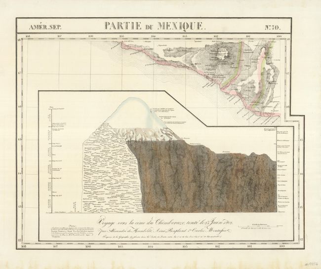
Amer. Sep.- No.70. Partie Du Mexique., (22.6 x 18.2") The great map details the coastline at Acapulco with the volcano Chilpancingo prominently featured. A huge inset that involves more than half the sheet is a geological profile of the volcano. Fine less a little foxing in lower margin (A).
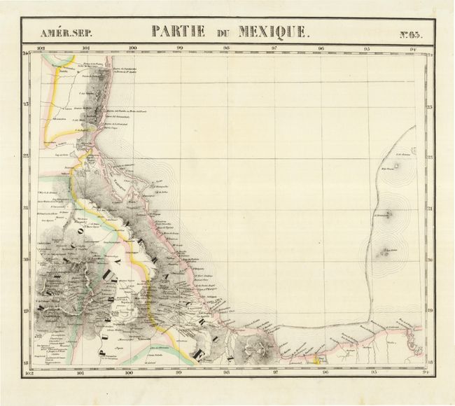
Amer. Sep.- No.65. Partie Du Mexique., (21.0 x 18.2") This chart details the coast of Mexico centered on Vera Cruz. Extends to the oil rich gulf area at about Carmen Lagoon and up the coast to about Tampico. Very good (A).
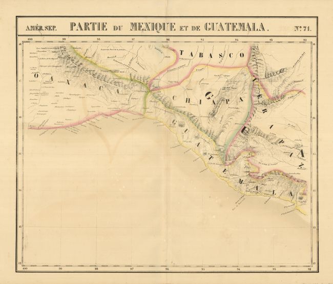
Amer. Sep.- No.71. Partie Du Mexique Et De Guatemala., (22.0 x 18.5") This chart maps the coastline from Oaxaca into northern Guatemala. The city of Guatemala is erroneously shown near today's San Jose. A little offsetting and uneven toning with a few white foxing spots (B+).
References:
Condition:
See descriptions.