Catalog Archive
Auction 131, Lot 354

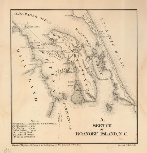
"Sketch of Roanoke Island, N.C.", Bowen & Co., John T.

Subject: North Carolina

Period: 1866 (published)

Publication: Supplemental Report of the Joint Committee on the Conduct of the War

Color: Black & White

Size:
6.7 x 7 inches
17 x 17.8 cm
Download High Resolution Image
(or just click on image to launch the Zoom viewer)

This little map illustrates an important battle in the American Civil War. Roanoke Island was fortified by the Confederacy to protect Albermarle Sound. In February of 1862, Brigadier General Ambrose E. Burnside landed an amphibious force and took Confederate forts on the island. Map indicates the location of Forts Huger, Blanchard, and Bartow, Federal and Union gunboats, the "landing place," the place where the "battle was fought," and the site where the "Rebels surrendered."

References:

Condition: B+

Folding as issued with a few faint stains.

Estimate: $80 - $120

Sold for: $60

Closed on 3/17/2010

Archived