Catalog Archive
Auction 131, Lot 314

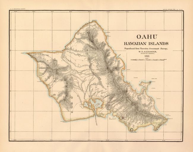
"Oahu, Hawaiian Islands Reproduced from Hawaiian Government Survey, W. D. Alexander. Surveyor General", Hawaii Territorial Surveys

Subject: Hawaii

Period: 1881 (dated)

Publication: USGS Annual Report 1883

Color: Hand Color

Size:
12.5 x 9.5 inches
31.8 x 24.1 cm
Download High Resolution Image
(or just click on image to launch the Zoom viewer)

Early map of Oahu from the Hawaii Territorial Surveys. The map uses hachure to illustrate the mountains and contours. Shows Honolulu as a miniature plan. Names Diamond Head, Quarantine Island, Mokapu Pt., Waimanalo, Kahauna Bay, Kahuku Pt., and more. Pearl Harbor is well shown, but unnamed. During this period W.D. Alexander was the Surveyor General to the territory. This is the reduced version from the Rumsey reference given.

References: cf Rumsey #3434.

Condition: A+

Estimate: $140 - $180

Sold for: $100

Closed on 3/17/2010

Archived